Jan 27, 2026
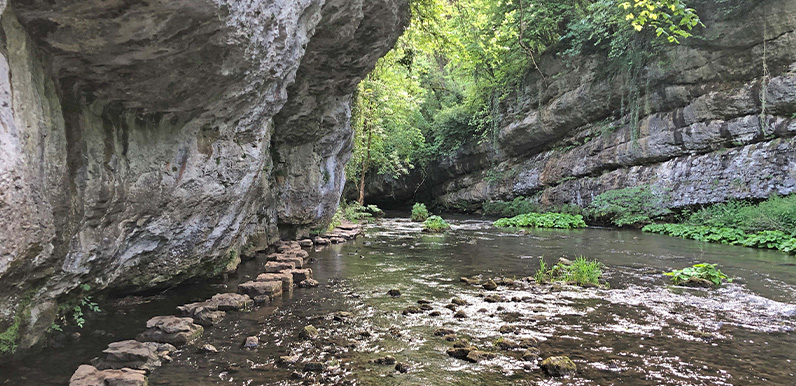
The stepping stones at Chee Dale can be a bit daunting when the water level is high. Full directions Click below for a pdf including stage-by-stage details of the route with photos and a map, as well as links to car parks and public transport. A walking app GPX is...
Jan 26, 2026
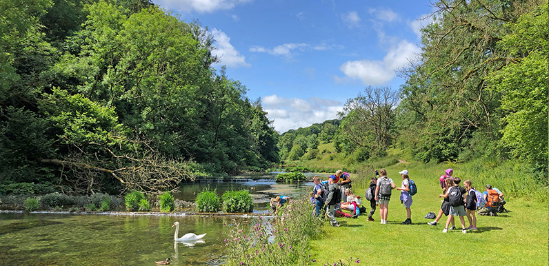
Lathkill Dale is one of the most picturesque spots in the White Peak. Full directions Click below for a pdf including stage-by-stage details of the route with photos and a map, as well as links to car parks and public transport. A walking app GPX is also available....
Jan 25, 2026
Lathkill Dale is one of the most picturesque spots in the White Peak. Full directions Click below for a pdf including stage-by-stage details of the route with photos and a map, as well as links to car parks and public transport. A walking app GPX is also available....
Jan 24, 2026
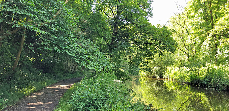
The riverside path is very scenic but can get very muddy in places when the water level runs high. Full directions Click below for a pdf including stage-by-stage details of the route with photos and a map, as well as links to car parks and public transport. A walking...
Jan 23, 2026
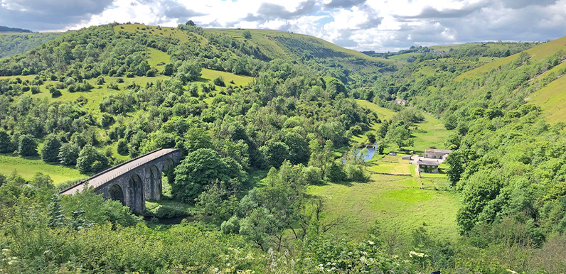
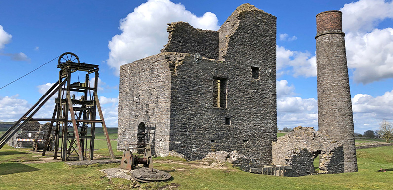
Dating back to the 1680s, Magpie Mine only closed in the 1950s, making it the last working lead mine in Derbyshire. Full directions Click below for a pdf including stage-by-stage details of the route with photos and a map, as well as links to car parks and public...