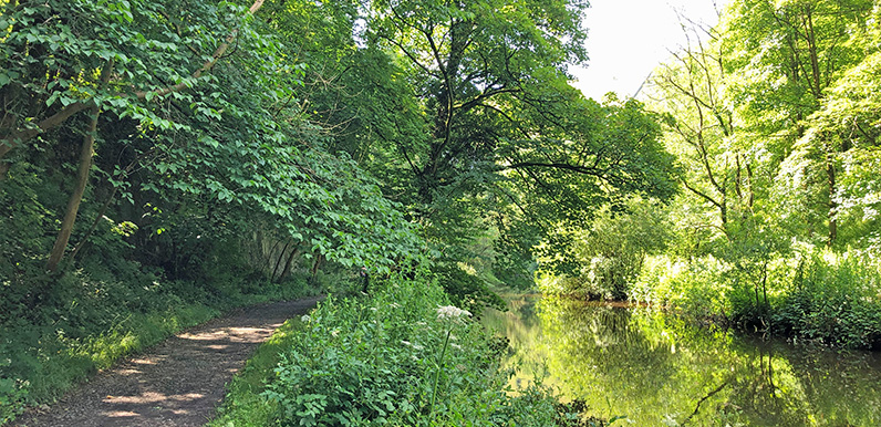
The riverside path is very scenic but can get very muddy in places when the water level runs high.
Full directions

Click below for a pdf including stage-by-stage details of the route with photos and a map, as well as links to car parks and public transport. A walking app GPX is also available.
Walk details
Length: 4.6mls | Av. time: 2.30hr | Ascent: 873ft
Start: Monsal Head | Google Map
Walk description, map & GPX | Download
A fairly easy 5-mile walk from Monsal Head and along the Trail before dropping down to Litton Mill. The route also passes Cressbrook Mill – both cotton mills shared a brutal reputation for exploiting and mistreating pauper orphans from the slums of Manchester and London.
The return section runs alongside the picturesque River Wye; parts of which can get muddy and water-logged in winter months and after a lot of rain. So walking boots are often a good idea.

Route diversion
There’s a well-signposted diversion (above) about half way along the riverside path which is useful when it does get flooded. But the first section is up some fairly steep and irregular stone steps so it’s not suitable for very young children or anyone with pushchairs.
Monsal Head has a large pay and display carpark, but it’s often possible to find on-street spaces along the lane to Little Longstone. There’s also a nearby bus-stop.
There’s a tearoom at Monsal Head, and the Monsal Head Hotel serves a wide range of drinks and snacks from both their bar as well as the next-door stables. And the Packhorse Inn in Little Longstone is always worth a visit.
Route photos
Stages 1-6 of the route. Click any to enlarge and scroll through.
Relive video
Click to play and use the expand option to view in full-screen. More Monsal Trail Relives.