27. Topley Pike > Tunstead Quarry
Walk distance: 8 miles | Date recorded: August 2025
Start point: Topley Pike lay-by | Google Map
GPX file: Just £1.50 | Download file
Walk description
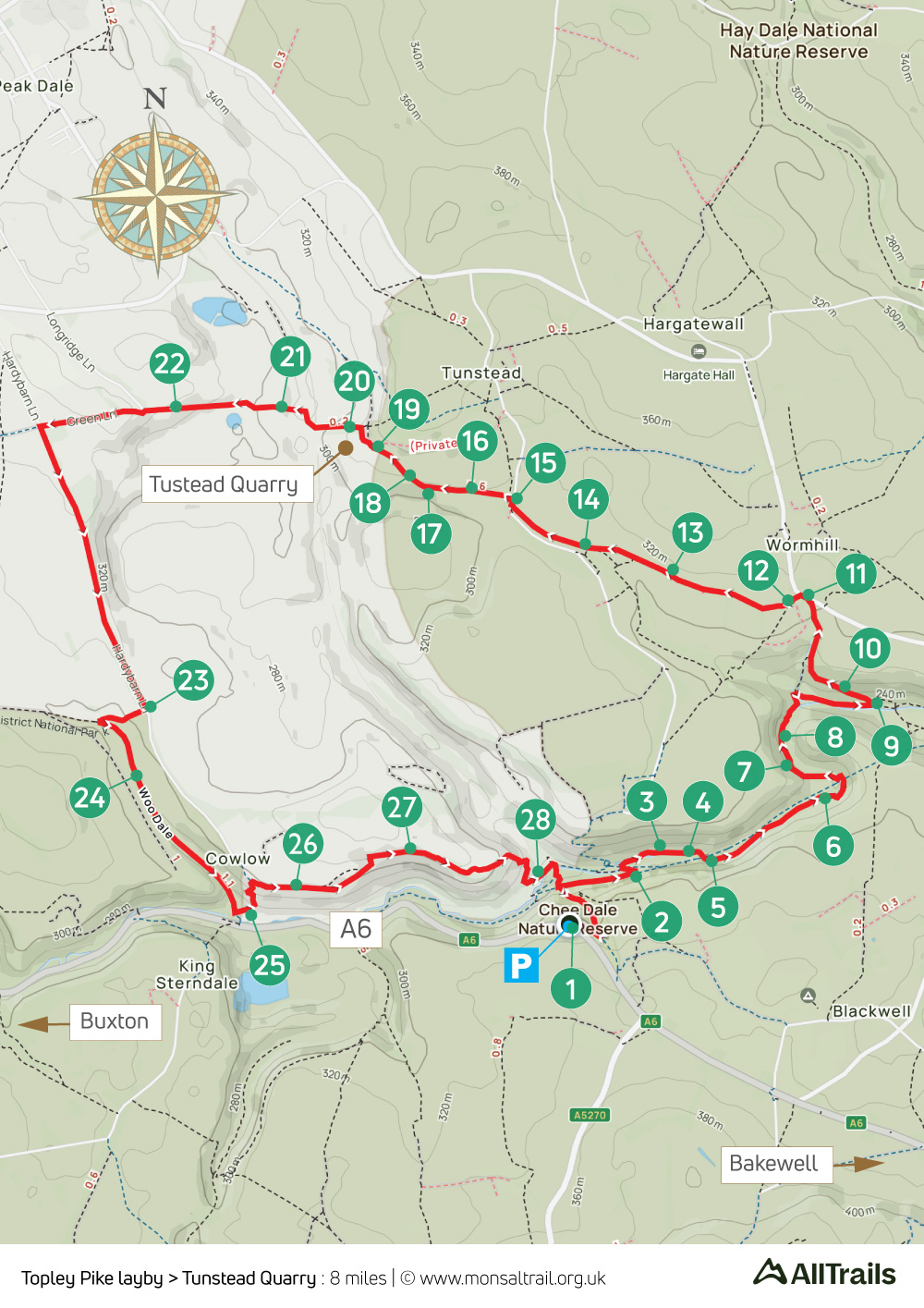
This eight-mile walk from the Topley Pike lay-by on the A6 between Buxton and Bakewell crosses two sets of stepping stones along the River Wye before skirting the attractive village of Wormhill on the way to the Peak District’s largest stone quarry at Tunstead, returning along Woodale.
The stepping stones can be challenging in winter or when the river’s running high. And there are a couple of short sections of irregular steps. But they shouldn’t be difficult if you take your time and are reasonably fit and agile.
*If you are nervous, it’s possible to avoid the stepping stones by keeping to the Monsal Trail and dropping down the path on the left after both Chee Tor tunnels, following the signpost to Blackwell, to cross the footbridge at point 9.
A ‘Relive’ version of the walk. Click to play and use the expand option to view in full-screen. Click here for more Monsal Trail ‘Relives’.
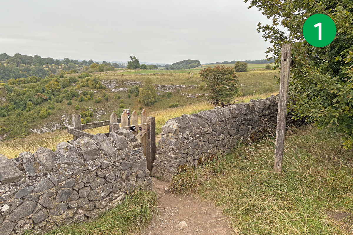
1: From Topley Pike lay-by, go through a small wooden gate in the stone wall and head down the slope to the right, turning sharp left at the footpath sign. Cross a stile at the end of this stoney track to reach the Monsal Trail and turn right, passing under a bridge. This is the Buxton end of the Trail. If you turned left, the Trail is blocked just a short distance further.
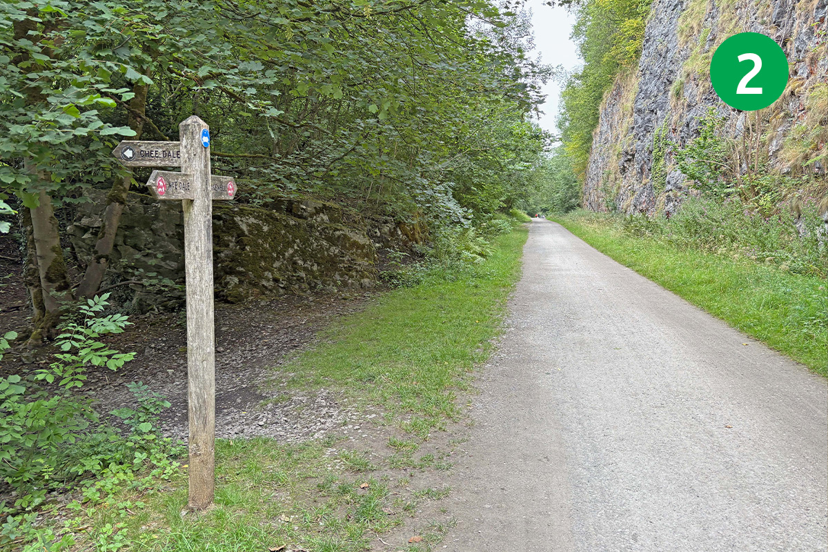
2: Look out for a footpath sign on the left to Chee Dale. The route goes down this narrow track but it does include two sets of stepping stones and some climbing up rough steps that can be difficult in wet weather. (*The alternative is to continue along the Trail until you can drop down between Chee Tor Tunnels No.1 & No.2 to cross the footbridge at point 9 – see walk description.)
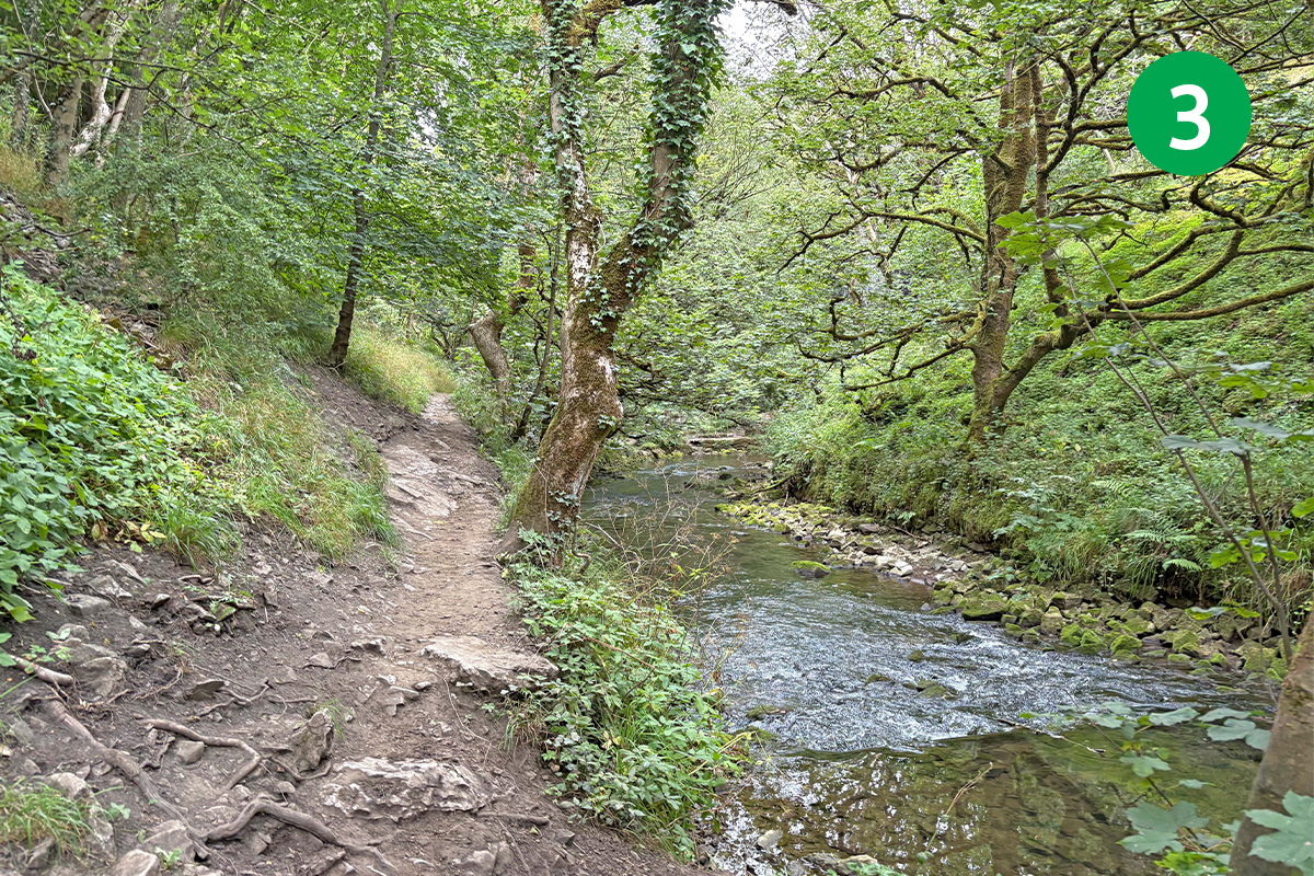
3: To continue this route beside the river bank, cross the footbridge and turn right under the viaduct arch, keeping to the narrow path with the river on your right.
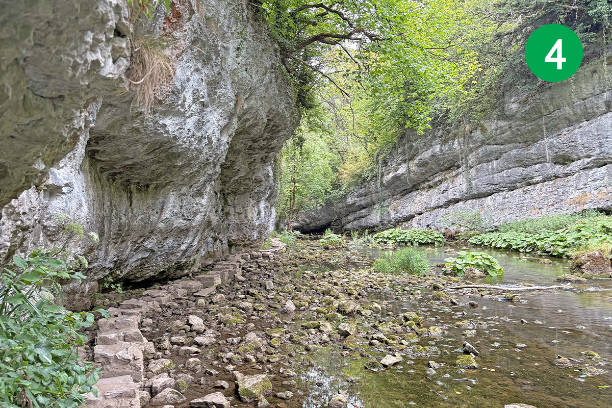
4: You soon come to the first set of stepping stones. When I recorded the route in August 2025, the Wye was the lowest I’d ever see it – not even coming up the base of the stones. But usually they’re only a few inches above, so some care is needed. But the stones are flat and evenly placed, so they’re not that difficult to cross.
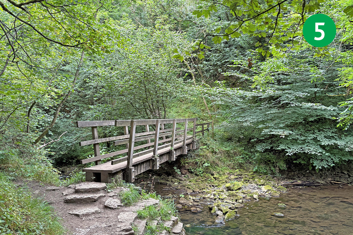
5: You eventually come to another footbridge. Cross over to the other side of the Wye.
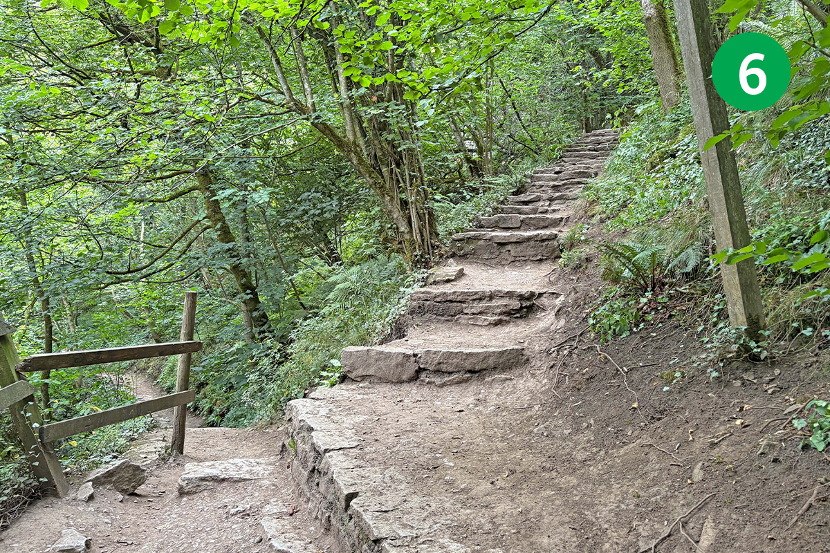
6: Head up the slope to reach a junction of paths. Take the left track to continue this route towards the next set of stepping stones. (*To avoid this section – and some uneven steps which can be tricky when the limestone is damp – take the steps on the right which lead up to the Monsal Trail, turn left and then drop down after Chee Tor Tunnel to cross the footbridge at point 9 – see walk description.)
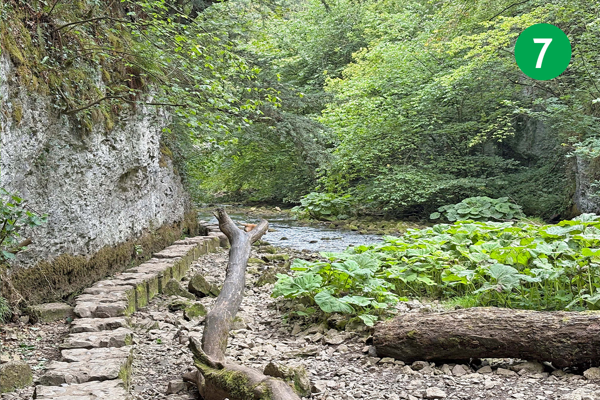
7: To continue this route, follow the narrow path beside the river, crossing over another footbridge to reach the other side, and you soon come to the second set of stepping stones. Again these are fairly flat and evenly spaced and shouldn’t be difficult to cross. Also, the rock face on the left is close enough to steady yourself if you feel nervous.
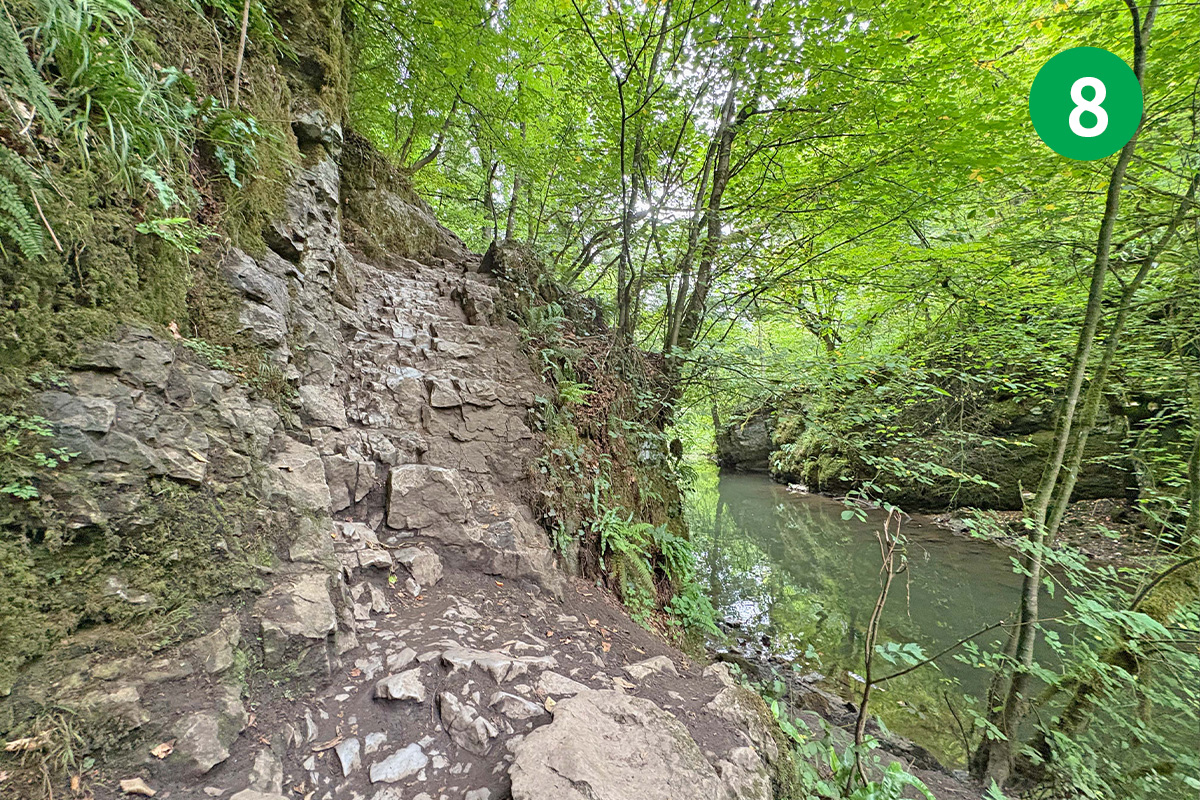
8: You soon pass a rock face which is a popular spot for climbers to test their skills. This section of the route includes some short stretches of uneven steps in the rock which need care when the stone is damp and slippery. But they’re mainly up rather than down, which I always find easier.
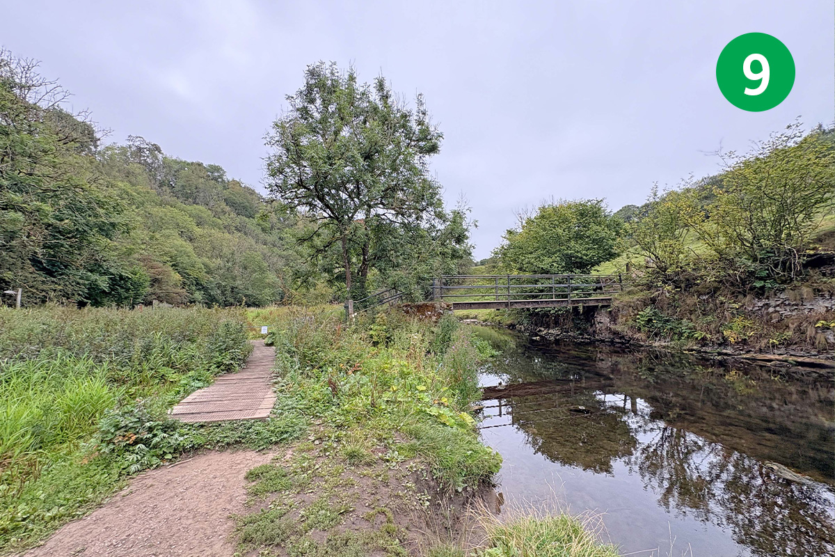
9: You eventually reach a small footbridge over the river. Don’t cross the bridge. Follow the footpath sign to Wormhill on the left, going through a small wooden gate and heading up the slope. (If you’ve avoided either of the stepping stones by keeping to the Monsal Trail, you will come down to this bridge.)
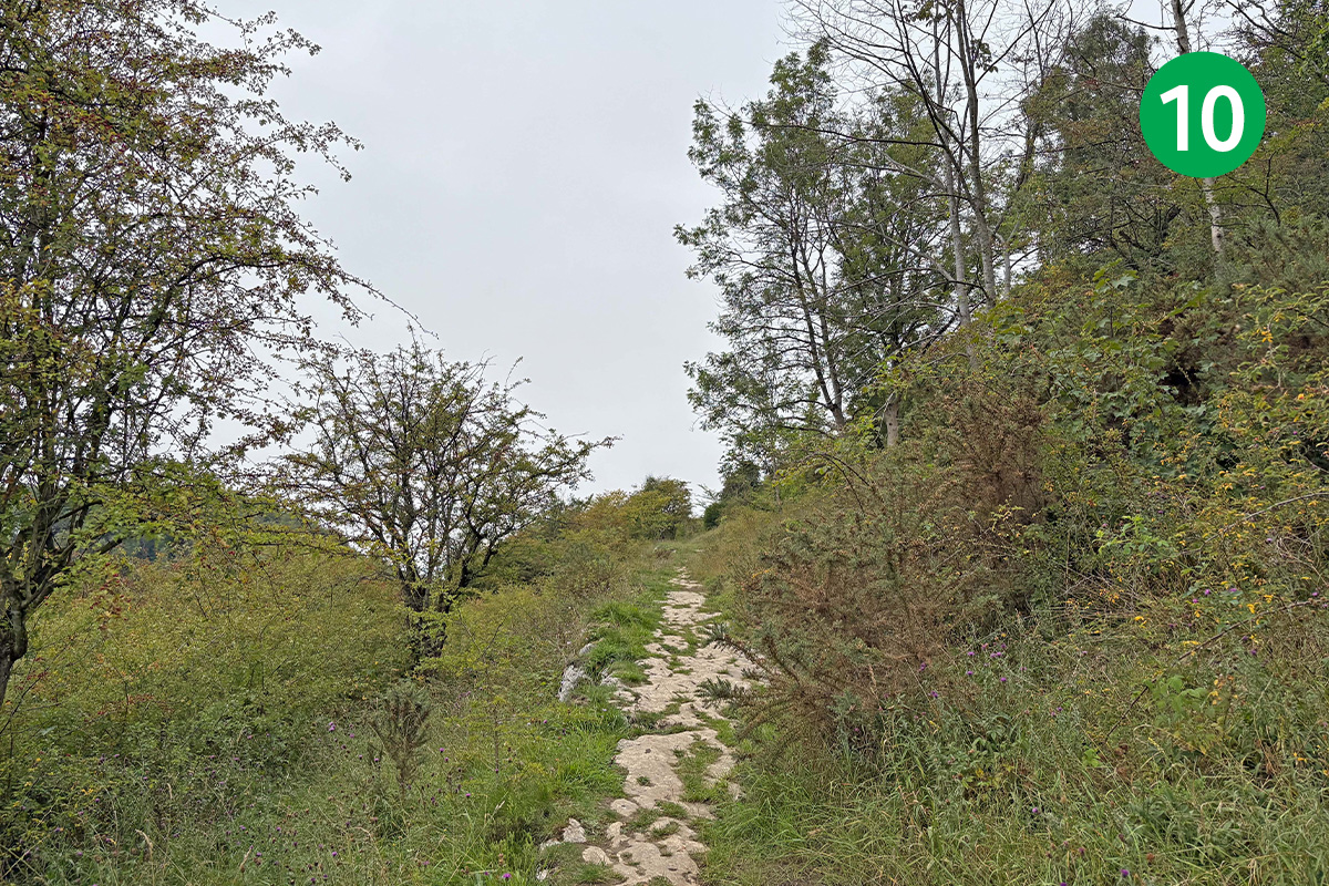
10: Keep on this narrow track up the slope, passing through a couple of small wooden gates and a stretch of woodland to reach the main road which runs between Miller’s Dale to the right, and Wormhill.
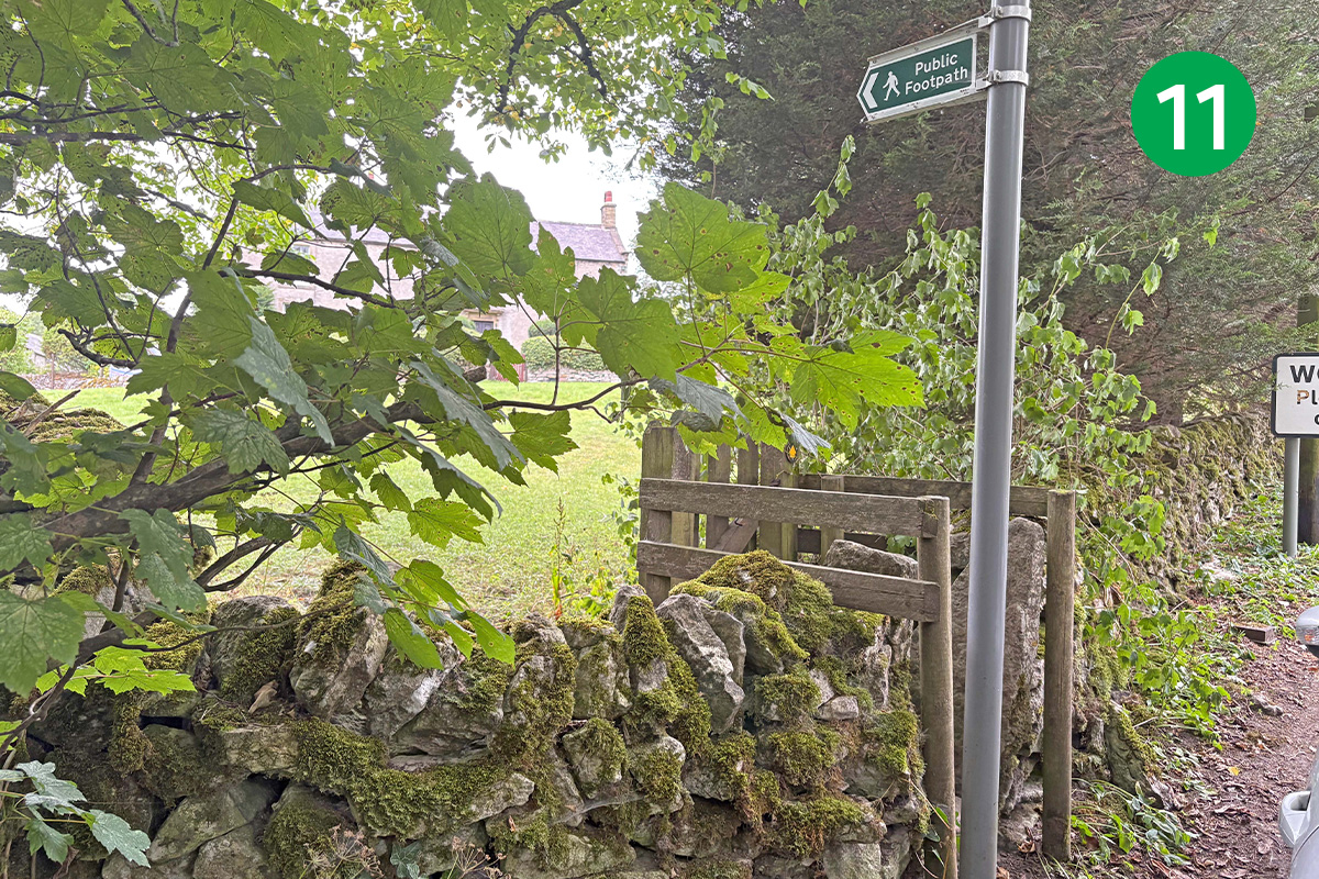
11: Turn left when you reach the road. The route follows a footpath sign on the left towards some farm buildings. But the village of Wormhill, with its picturesque church and village green, is just a short distance further along the lane and provides a good spot to rest awhile and maybe enjoy some refreshments.
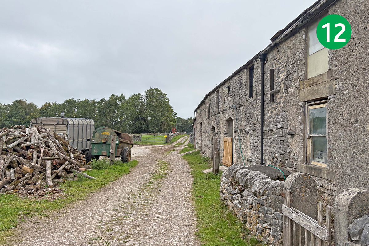
12: Go through the gate at point 11, heading between the farm house and barns, and follow the wide farm track around to the right.
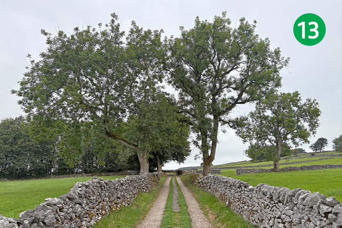
13: Follow this attractive track for some distance, keeping directly ahead as it crosses the fields along an ancient lane beween stone walls.
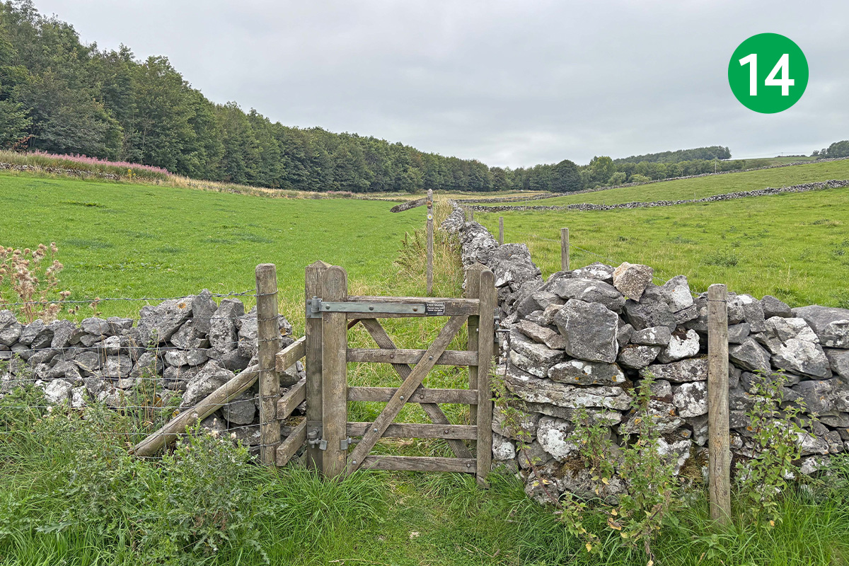
14: Go through a wide gate, heading slightly left towards a gap in the stone wall in the distance. Keep in the same direction towards a smaller gate and then straight ahead, with the stone wall on your right, to eventually exit over a stile onto a narrow road.
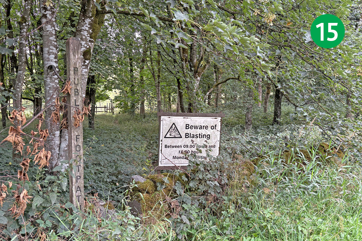
15: Turn right along the road and then immediately left to follow a footpath sign into woodland. A notice board beside the sign warns about the dangers of blasting in the nearby quarry on weekdays between 9am and 4pm. But I spoke to Tunstead and they say there’s no risk along this route.
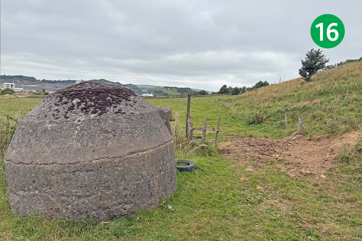
16: Exit the woodland over a wooden stile, and follow the footpath sign straight ahead. You pass to the right of a couple of blast shelters. The route continues straight ahead but it’s worth a short detour to the left to take in the sheer scale of Tunstead Quarry from the edge.
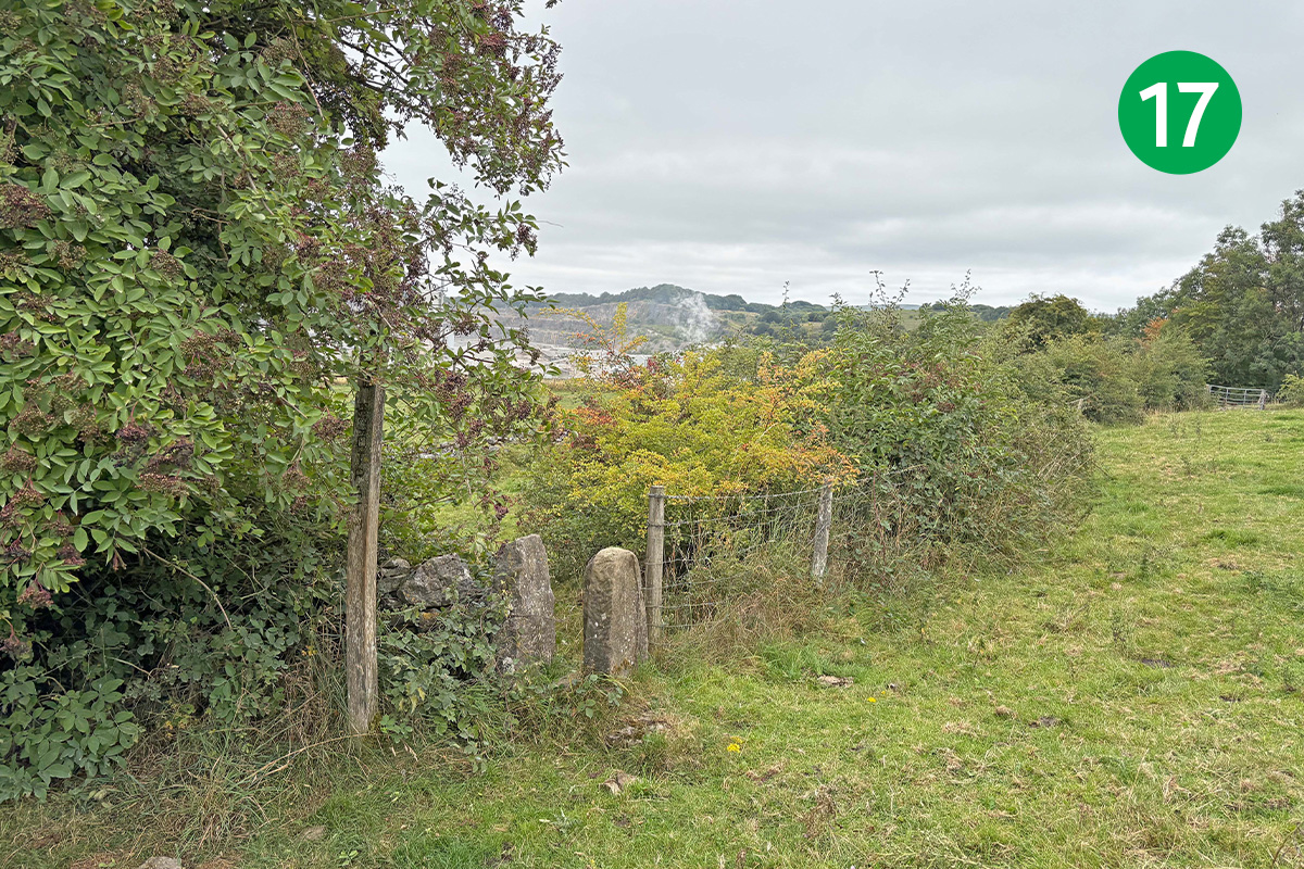
17: Head slightly right towards the corner of a stone wall in the distance, and then look out for a well-hidden stile on the left. Go through here and follow the wide track to the right. This leads to a gap between a couple of wooden gate posts. Follow the footpath sign around to the right.
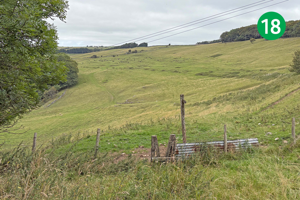
18: Look out for a footpath sign, slightly left down the slope and beside a wooden stile. Go through here, turning left along a narrow path which passes under a large tree.
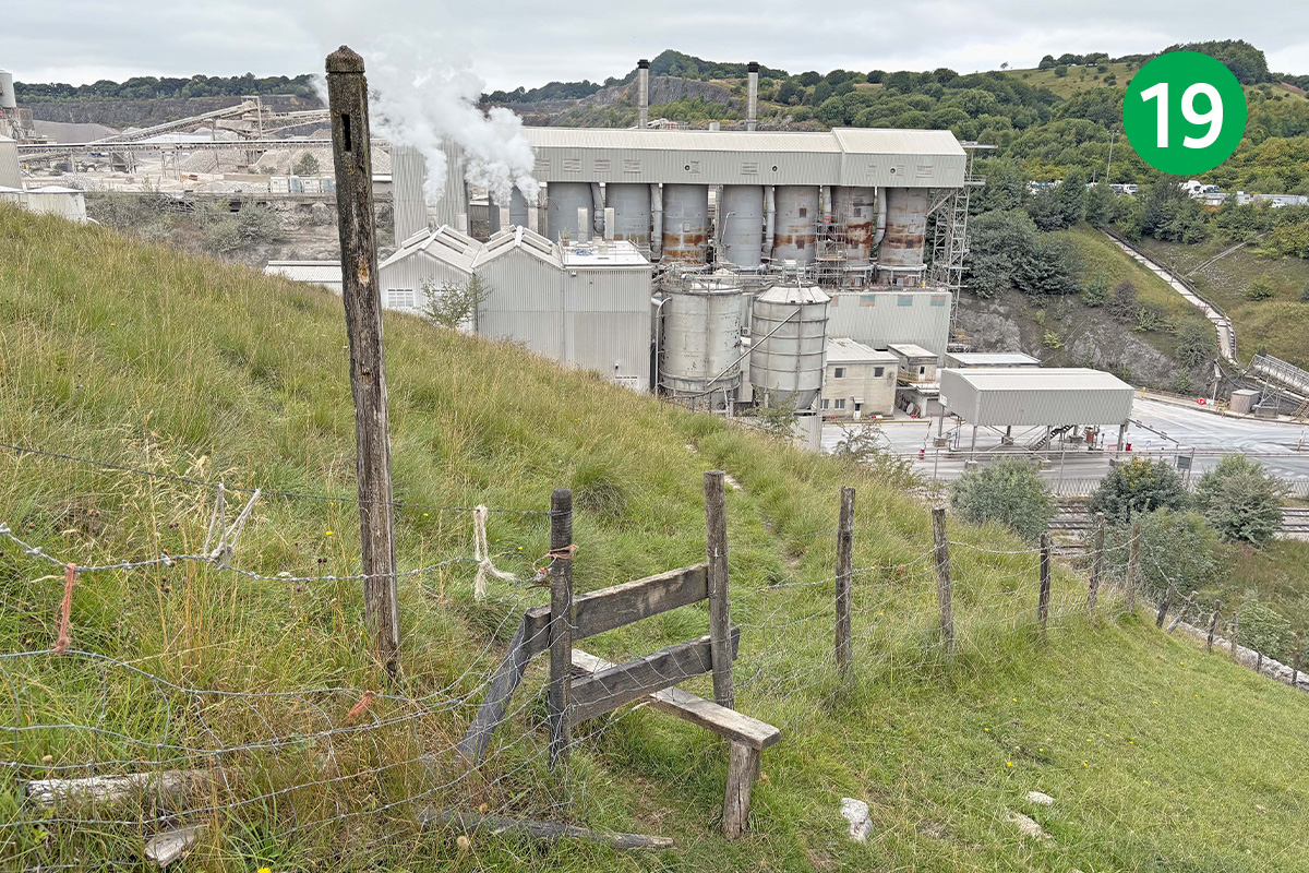
19: Keep to the left as the path slopes down and then rises up along the side of the valley, heading towards the quarry buildings in the distance. Follow a footpath sign over a wooden stile and keep to the path as it winds down, crossing the railway line over a metal footbridge.
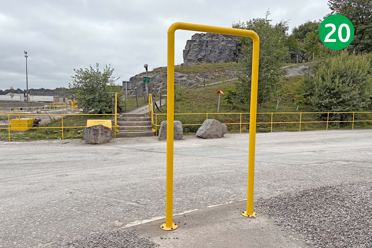
20: Keep along the obvious and well-signposted route through the quarry, and then a series of bright yellow metal hoops, to exit up a hard track.
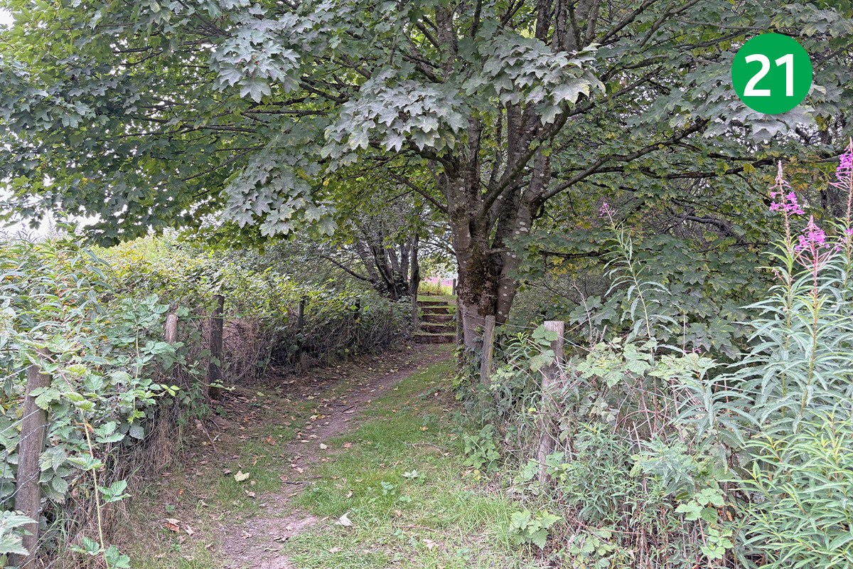
21: Keep on this path which runs along the quarry boundry. There are some impressive views from here revealing the vast size of the site. Exit beside a metal gate and follow the footpath sign pointing to the left.
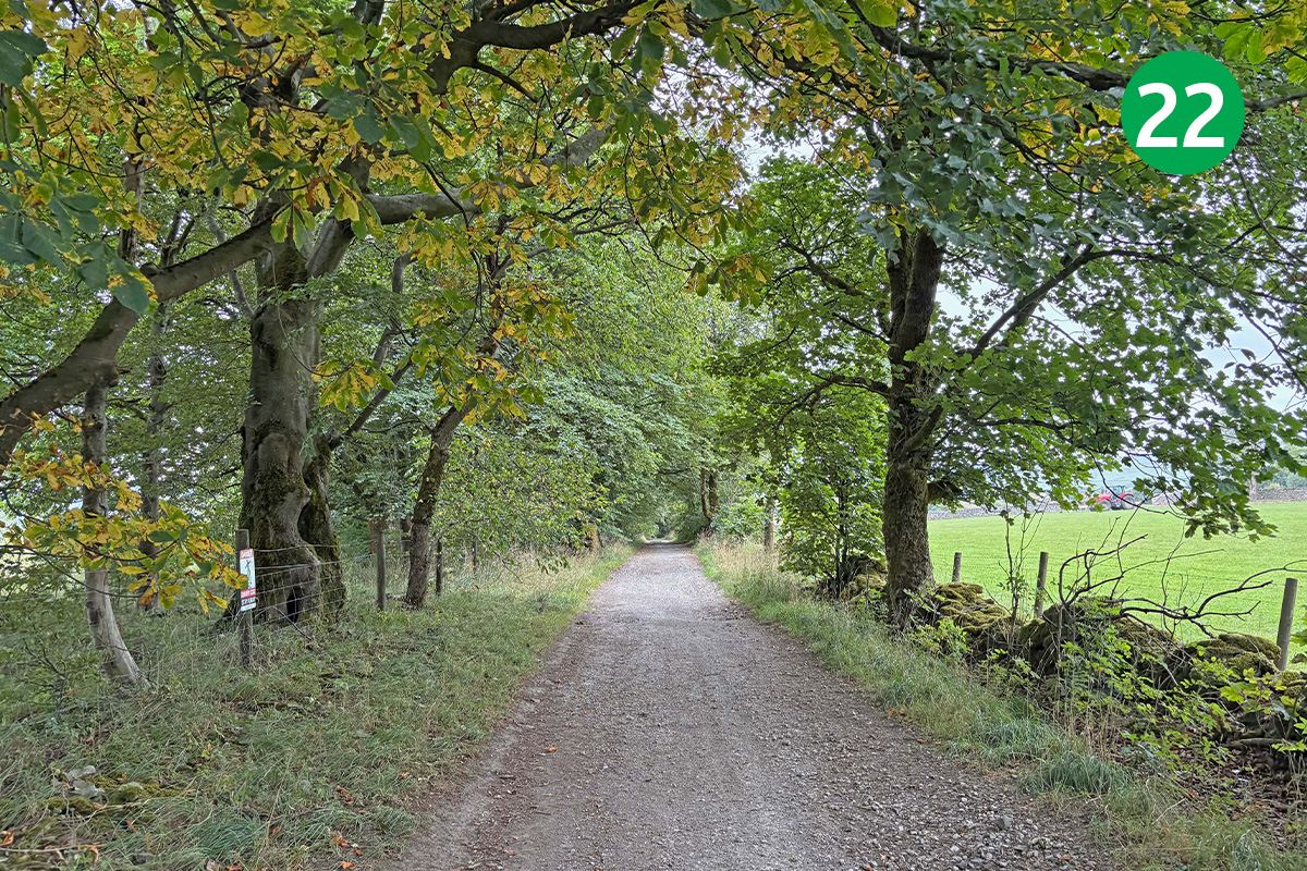
22: Follow this wide and attractive, tree-lined track for some distance, turning left when you reach a narrow road.
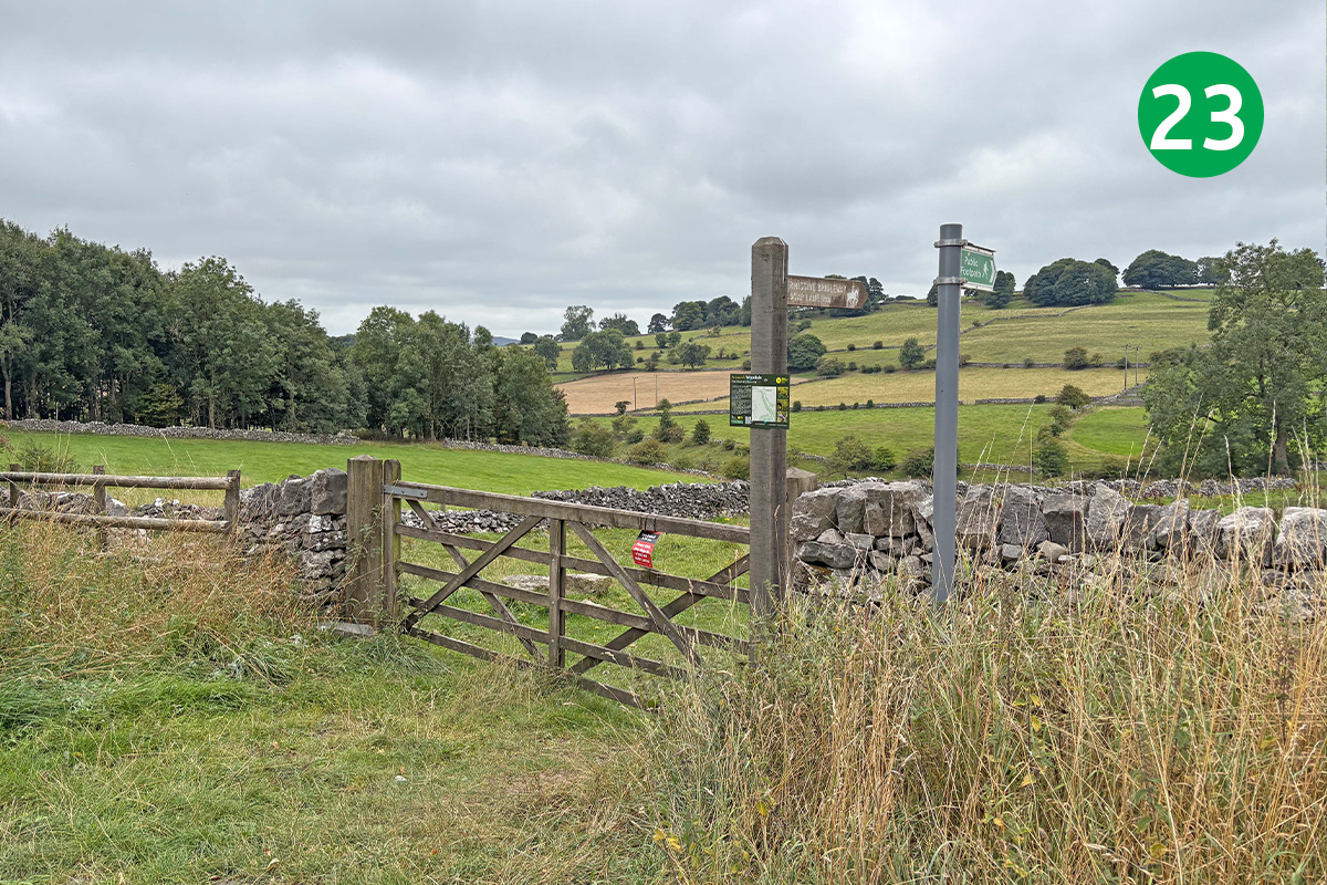
23: Keep on the road for some distance until you see a footpath sign on the right, beside a wide gate. Go though here and keep straight ahead and down the slope to reach Woodale. (You can keep on the road to avoid the climb back up from the end of Woodale – see map.)
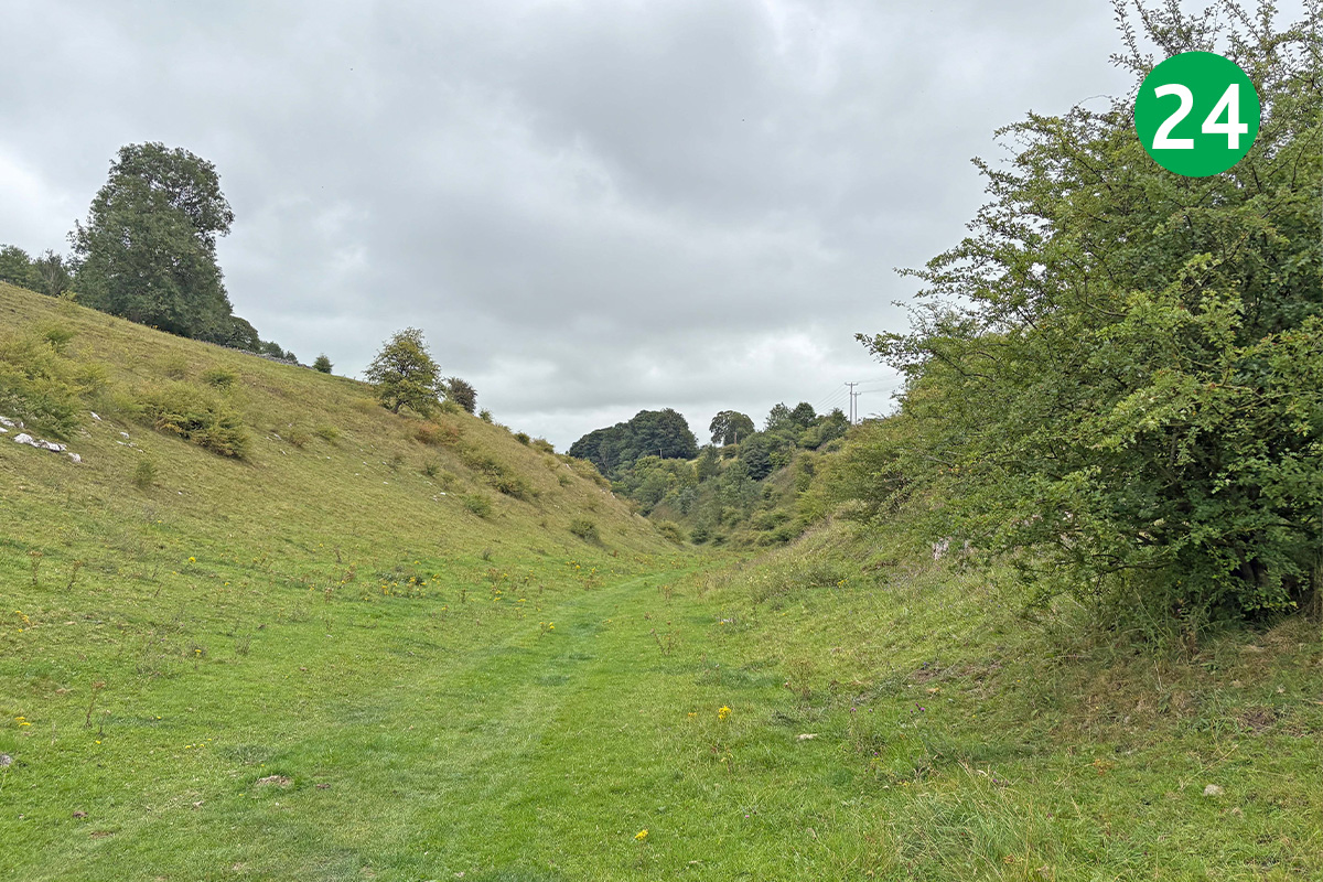
24: Head left when you reach Woodale. (Turning right eventually leads into Buxton – see Wyedale to Buxton walk.)
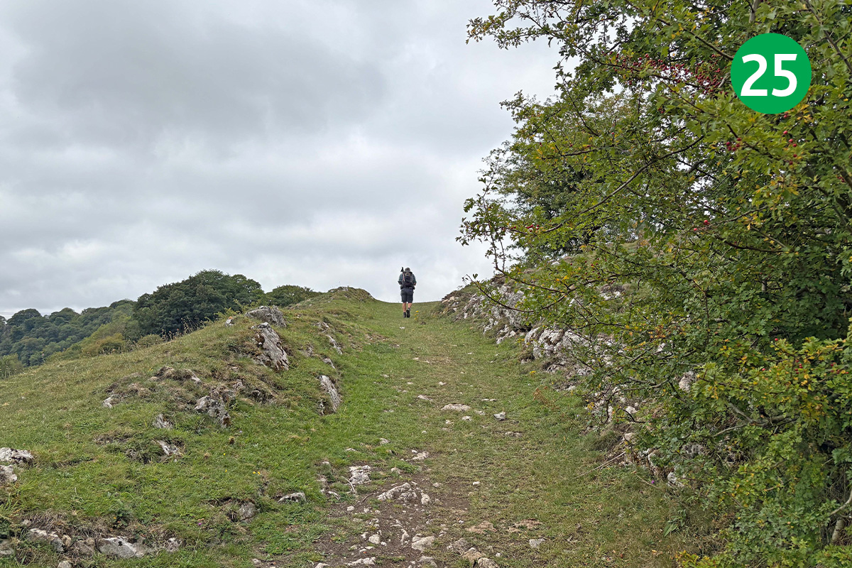
25: As the path through Woodale near the main A6 road, look out for a footpath sign on the left, and follow the obvious track as it winds up the slope. This is probably the most strenuous section of the walk.
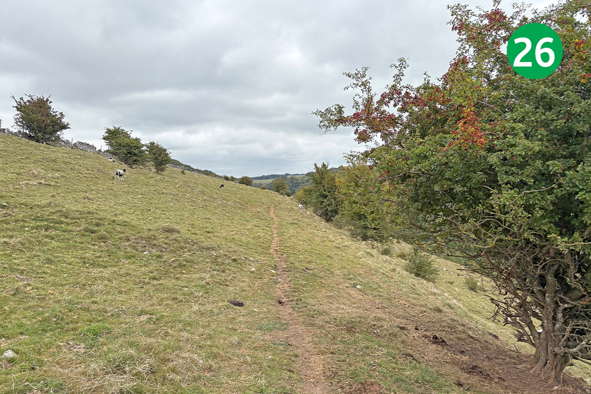
26: At the top of the rise, turn right through a small gate and follow the direction of the footpath sign across the open field. Keep in the same direction and at same level to reach another wooden stile on the left. Follow the direction arrows to enter woodland through a small gate.
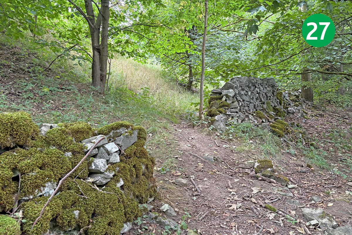
27: The route from here can get quite overgrown but keep in the same direction, passing from one side of the wall to the other through a wide gap. Head down the path when you reach the wire fence, crossing over a wooden walkway and then under a railway bridge. Follow the track around to the left when you reach level ground, passing a large waterworks building.
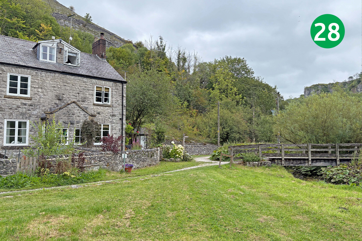
28: Cross the footbridge beside the railway workers’ cottages (railway staff used the nearby Blackwell Mill Halt). Head up the slope to the left of the cycle hire shop to cross the Monsal Trail – either over the bridge or through the stile – and walk up the stoney track you came down at the start, turning sharp right at the footpath sign to return to Topley Pike layby.

