Jan 24, 2026
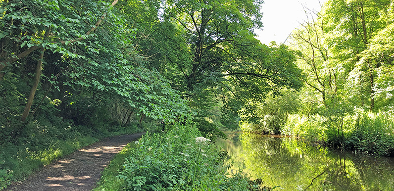
The riverside path is very scenic but can get very muddy in places when the water level runs high. Full directions Click below for a pdf including stage-by-stage details of the route with photos and a map, as well as links to car parks and public transport. A walking...
Jan 22, 2026
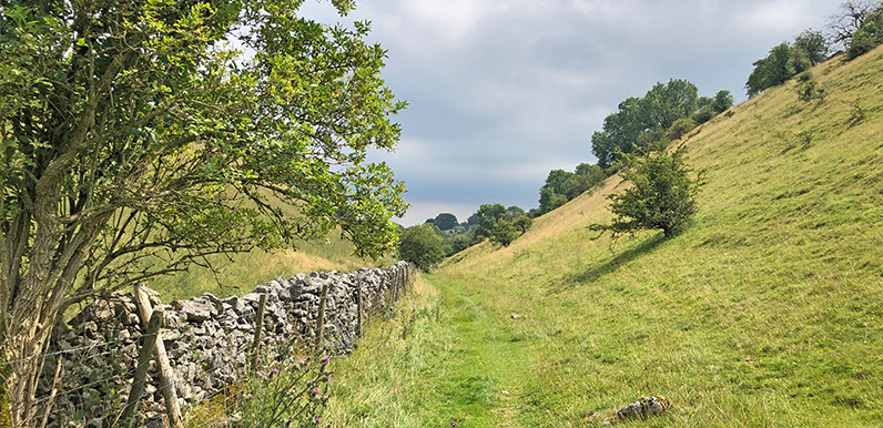
Lying between the ancient Derbyshire villages of Priestcliffe and Brushfield, High Dale is a wonderfully tranquil and undisturbed part of the White Peak. Full directions Click below for a pdf including stage-by-stage details of the route with photos and a map, as well...
Jan 7, 2026
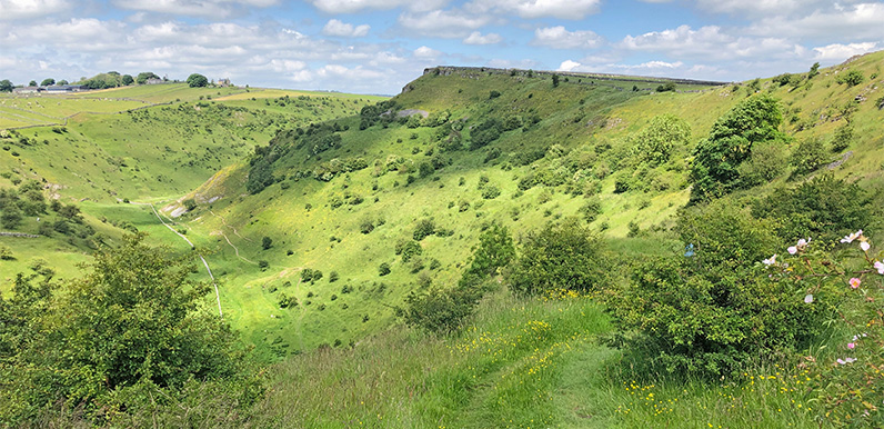
The view as you exit the higher path from Cressbrook Dale. The lower path emerges from the trees along the valley floor at bottom left. Full directions Click below for a pdf of the route with detailed instructions, photos and a map, as well as links to car parks and...
May 1, 2024
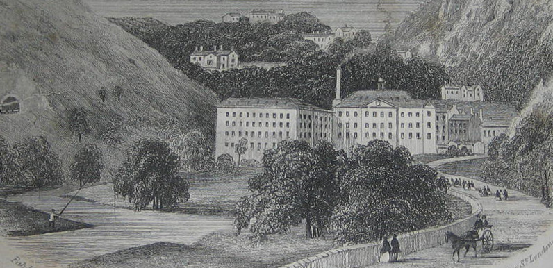
Above: An 18th century etching of Cressbrook Mill with Cressbrook Hall and Cressbrook village on the hills behind. (Image courtesy of Alan Roberts.) Cressbrook lies beside the Rive Wye about half a mile east of Litton. John Baker was first to develop the site –...
Apr 29, 2024
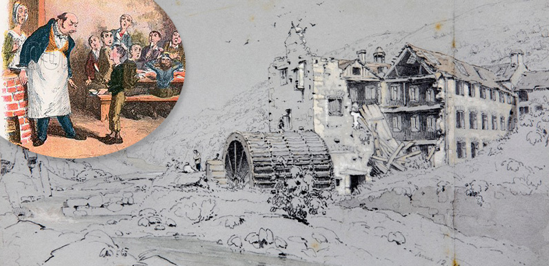
Above: George Cruikshank’s original illustration showing Oliver Twist asking for second helpings, inset against an 1828 etching of the mill in ruins held in Buxton Museum. Today, Litton Mill is a large building divided into attractive apartments set in tranquil...