Jan 22, 2026
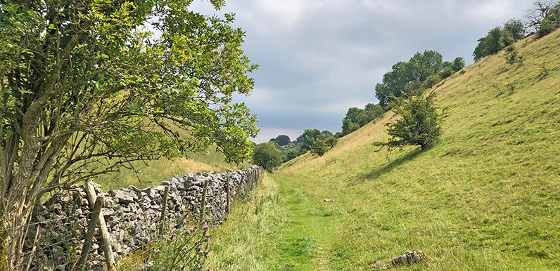
Lying between the ancient Derbyshire villages of Priestcliffe and Brushfield, High Dale is a wonderfully tranquil and undisturbed part of the White Peak. Full directions Click below for a pdf including stage-by-stage details of the route with photos and a map, as well...
Jan 19, 2026
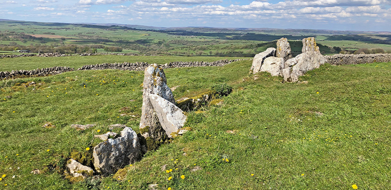
Five Wells Tomb is a wonderfully evocative spot, perched high on Taddington Moor with breath-taking views across the surrounding landscape. Full directions Click below for a pdf of the route with detailed instructions, photos and a map, as well as links to car parks...
Jan 13, 2026
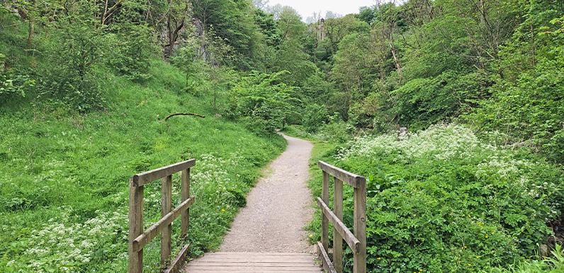
Tideswell Dale is one of the shortest but most picturesque dales in the White Peak. Full directions Click below for a pdf of the route with detailed instructions, photos and a map, as well as links to car parks and public transport. A walking app GPX is also...
Jan 9, 2026
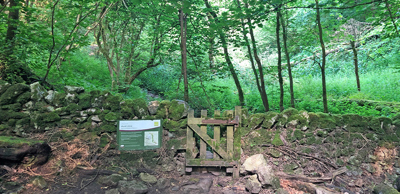
Once walked by medieval monks, Monk’s Dale has a wonderfully quiet and meditative atmosphere. Full directions Click below for a pdf of the route with detailed instructions, photos and a map, as well as links to car parks and public transport. A walking app GPX...
Jan 3, 2026
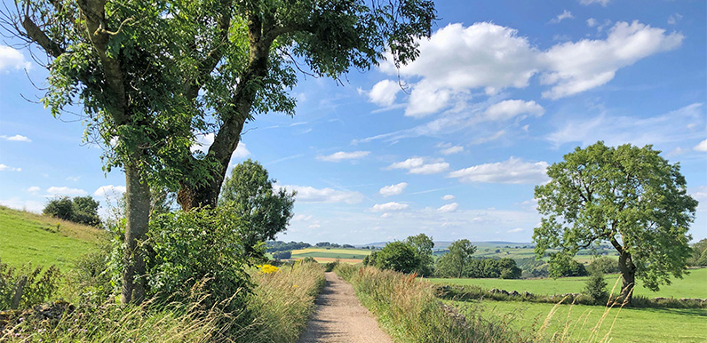
The attractive track from Priestcliffe on the return towards Miller’s Dale (near point 16 on the map). Full directions Click below for a pdf of the route with detailed instructions, photos and a map, as well as links to car parks and public transport. A walking app...