Full directions

Click below for a pdf including stage-by-stage details of the route with photos and a map, as well as links to car parks and public transport. A walking app GPX is also available.
Walk details
Length: 6.7mls | Av. time: 3.25hr | Ascent: 1263ft
Start: Miller’s Dale Station | Google Map
Walk description, map & GPX | Download
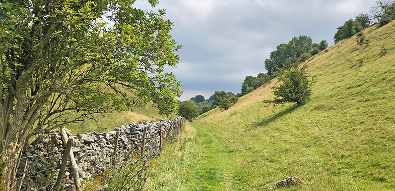
This fairly easy 7-mile walk starts from Miller’s Dale Station carpark and heads along a mix of narrow paths, open fields and farm tracks to meet the Monsal Trail close to Headstone Viaduct.
There are some slopes to climb from the station, but the effort is well worth the rewards. And although it’s always good to see fellow walkers and cyclists enjoying the Monsal Trail, it can get busy on weekends and in school holidays. This is a perfect route if you feel like a bit of solitude to reconnect with the natural world.

Above: The original Cressbrook Mill was built in 1779 by the famous father of the industrial revolution, Richard Arkwright, but destroyed in a fire just six years later. It was rebuilt in 1787 by Arkwright’s son, also named Richard.
Depending on the time of year and leaves on the trees, it’s possible to spot both Cressbrook and Litton Mills beside the River Wye in the valley below. They’re both now converted into appartments but once earned a brutal reputation for the exploitation and ill-treatment of pauper children in the 19th century.
There’s a cafe and toilets at Miller’s Dale Station, and the popular Anglers Rest pub is just a short walk away, beside the main road in Miller’s Dale village. There’s a bus stop near the Anglers Rest pub, and the nearest stations are Buxton and Grindleford.
Route photos
Stages 1-6 of the route. Click any to enlarge and scroll through.
Relive video
Click to play and use the expand option to view in full-screen. More Monsal Trail Relives.