The attractive path from Ashford in the Water towards the Monsal Trail.
Full directions

Click below for a pdf of the route with detailed instructions, photos and a map, as well as links to car parks and public transport. A walking app GPX is also available.
Walk details
Length: 3mls | Av. time: 1.15hrs | Ascent: 171ft
Start: Ashford in the Water | Google Map
Walk description, map & GPX | Download
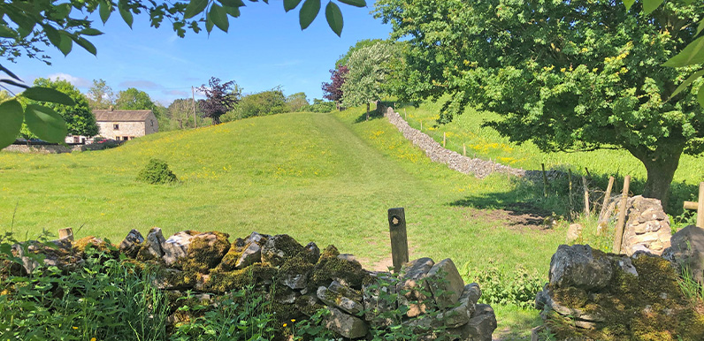
Recorded on a gloriously sunny afternoon under a clear blue sky in early June, this three-mile walk from Ashford-in-the-Water is one of the shortest in the series. But it’s also one of the most picturesque, reaching the Monsal Trail through fields carpeted in buttercups and beside hedgerows bursting with blossoming hawthorns.
And purely by chance, I also walked it during Ashford’s annual well-dressing week, with four of the village wells adorned with superbly crafted displays created with petals, berries, seeds, pebbles and wood.

Above: Ashford’s two largest wells with their colourful displays.
The origins of well dressing have been lost over time, but it’s thought the custom evolved from a pagan ritual of leaving gifts to water gods for the continued supply of fresh water.
The Monsal Trail section of the walk passes Great Longstone Station – the third of five stops along the line between Bakewell and Blackwell Mill near Buxton (more information and photos).
Above: Click the ‘Now’ button – or drag the green slider – to see the difference between Great Longstone Station in 1948 and today.
The walk returns through Churchdale – which is an odd name as it isn’t a dale and there’s no sign of any church – passing close to Churchdale Hall; the home of the 10th Duke of Devonshire from the 1920s up to his death in 1950.
Click here for full step-by-step directions and photos of the walk.
Route photos
Stages 1-6 of the route. Click any to enlarge and scroll through.
Relive video
Click to play and use the expand option to view in full-screen. More Monsal Trail Relives.