Jan 2, 2026
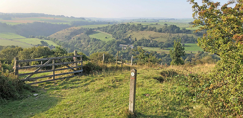
There are some wonderful views from along the ridge. Full directions Click below for a pdf of the route with detailed instructions, photos and a map, as well as links to car parks and public transport. A walking app GPX is also available. Description & GPX Walk...
Jan 1, 2026
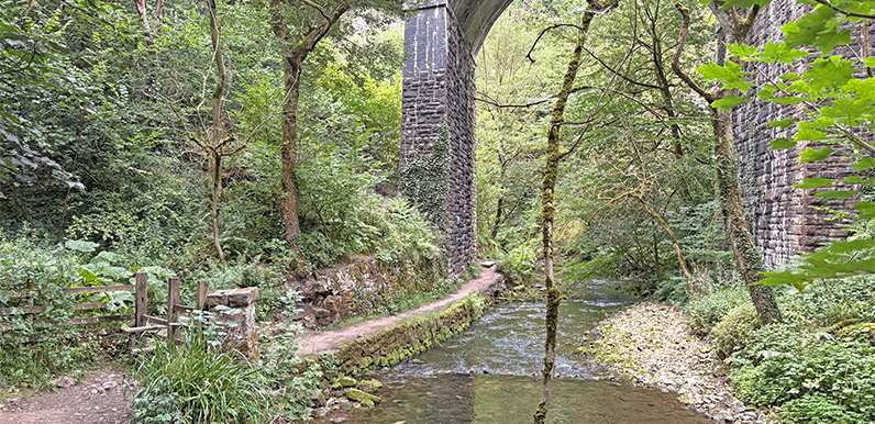
The riverside path passes through a viaduct arch on its way to the two sets of stepping stones. Full directions Click below for a pdf of the route with detailed instructions, photos and a map, as well as links to car parks and public transport. A walking app GPX is...
Dec 16, 2025
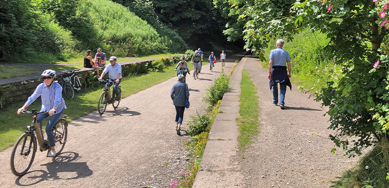
Above: Cyclists and walkers share the Trail at Great Longstone Station. Peak District National Park is facing mounting criticism over their application to create a new cycle hire centre in the old goods shed at Miller’s Dale Station. Not only from walkers who...
Sep 7, 2025
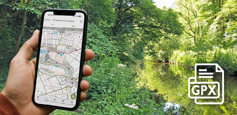
Above: Following the route of the Bakewell to Lathkill Dale walk using a GPX on a typical walking app. Using a GPX file An introduction to following a GPX route on a walking app, and some of the most popular apps available. Using OutdoorActive A detailed guide on how...
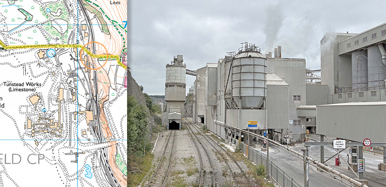
Aug 21, 2025
Above: The orange circle shows where the photo was taken – approching Tunstead from the footbridge over the quarry’s railway line. Tunstead Quarry lies just a few miles east of Buxton and is the UK’s largest limestone quarry, covering some 840 acres....