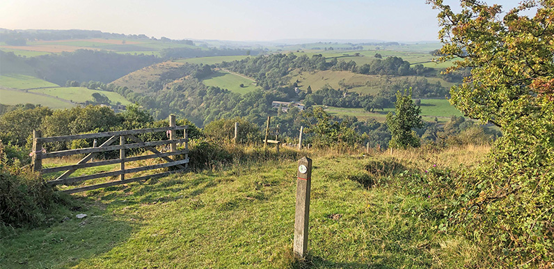
There are some wonderful views from along the ridge.
Full directions

Click below for a pdf of the route with detailed instructions, photos and a map, as well as links to car parks and public transport. A walking app GPX is also available.
Walk details
Length: 2.1mls | Av. time: 21.10hrs | Ascent: 531f
Start: Miller’s Dale Station | Google Map
Walk description, map & GPX | Download
At around two miles this is one of the shortest walks on the website. I came across the route on an information board at Miller’s Dale Station. It’s described as a ‘wild flower walk’, and runs east along the Monsal Trail, crossing one of the two viaducts before heading up a steepish slope along the border of Priestcliffe Lees Nature Reserve.
From the top of the slope, the path winds around open fields before dropping back to the Trail, closer to the old station.

The information board shows the route, and also explains that spring is the perfect time to enjoy the rare plants and flowers;
In the spring, early orchids and cowslips carpet the steep slopes.
Once you are up there, the views are stunning.
At the top, unique plants thrive on the lead spoil heaps, including cushions of spring sandwort and yellow mountain pansies.
Click here for full step-by-step instructions, photos, map and GPX file.
Route photos
Stages 1-6 of the route. Click any to enlarge and scroll through.
Relive video
Click to play and use the expand option to view in full-screen. More Monsal Trail Relives.