Aug 21, 2025
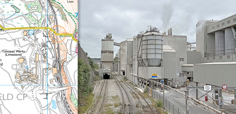
Above: The orange circle shows where the photo was taken – approching Tunstead from the footbridge over the quarry’s railway line. Tunstead Quarry lies just a few miles east of Buxton and is the UK’s largest limestone quarry, covering some 840 acres....
Aug 8, 2024
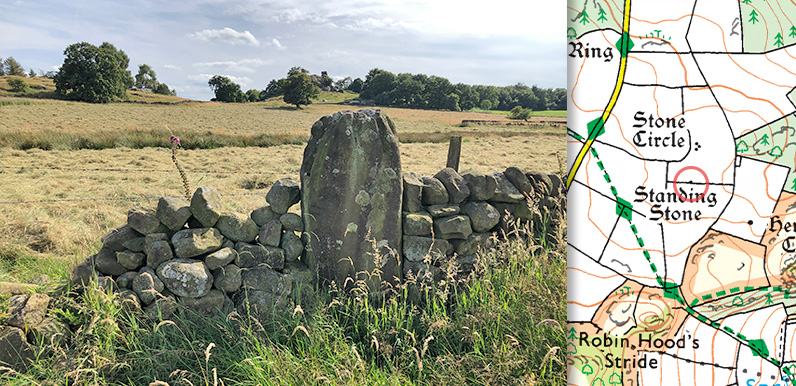
Above: The smallest of the surviving Grey Ladies is marked on the OS map and now stands in a nearby wall with Robin Hood’s Stride on the horizon. Lying close to Robin Hood’s Stride on Harthill Moor, between the villages of Elton and Birchover, The Grey...
Aug 5, 2024
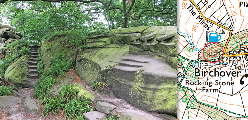
Above: Rowtor Rocks stand behind Birchover’s Druid Inn. The longest walk featured on this website – 14 miles from Bakewell to Robin Hood’s Stride – passes a number of historical sites, including Rowtor Rocks on the outskirts of Birchover, next...
Aug 2, 2024
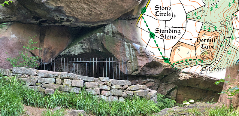
Above: The crucifixion carving was vandalised in the past and is now protected by iron railings. Also known as Cratcliff Hermitage, the hermit’s cave lies close to both Robin Hood’s Stride and the Grey Ladies Stone Circle, and is within walking distance of...
Jul 12, 2024
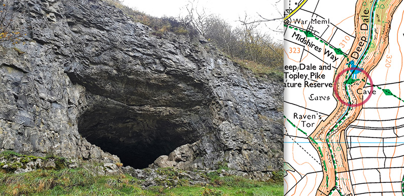
Above: Thirst House Cave lies beside the footpath crossing Deep Dale, just southwest of King Sterndale. Fissures in the limestone rock of the White Peak were ideal places for our ancient ancestors to shelter from both the weather and the many wild animals that once...
May 1, 2024
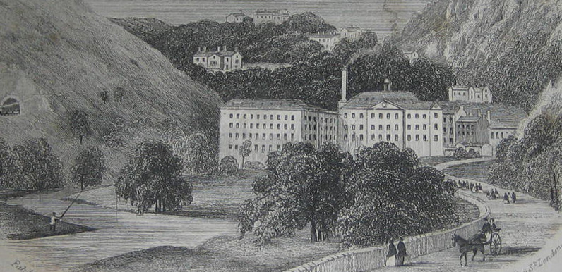
Above: An 18th century etching of Cressbrook Mill with Cressbrook Hall and Cressbrook village on the hills behind. (Image courtesy of Alan Roberts.) Cressbrook lies beside the Rive Wye about half a mile east of Litton. John Baker was first to develop the site –...


