25. Miller’s Dale > Brushfield
Price range: £1.50 through £2.95
Distance: 5.2mls
Average time: 2.30hrs
Ascent: 797ft
Description: Click to view
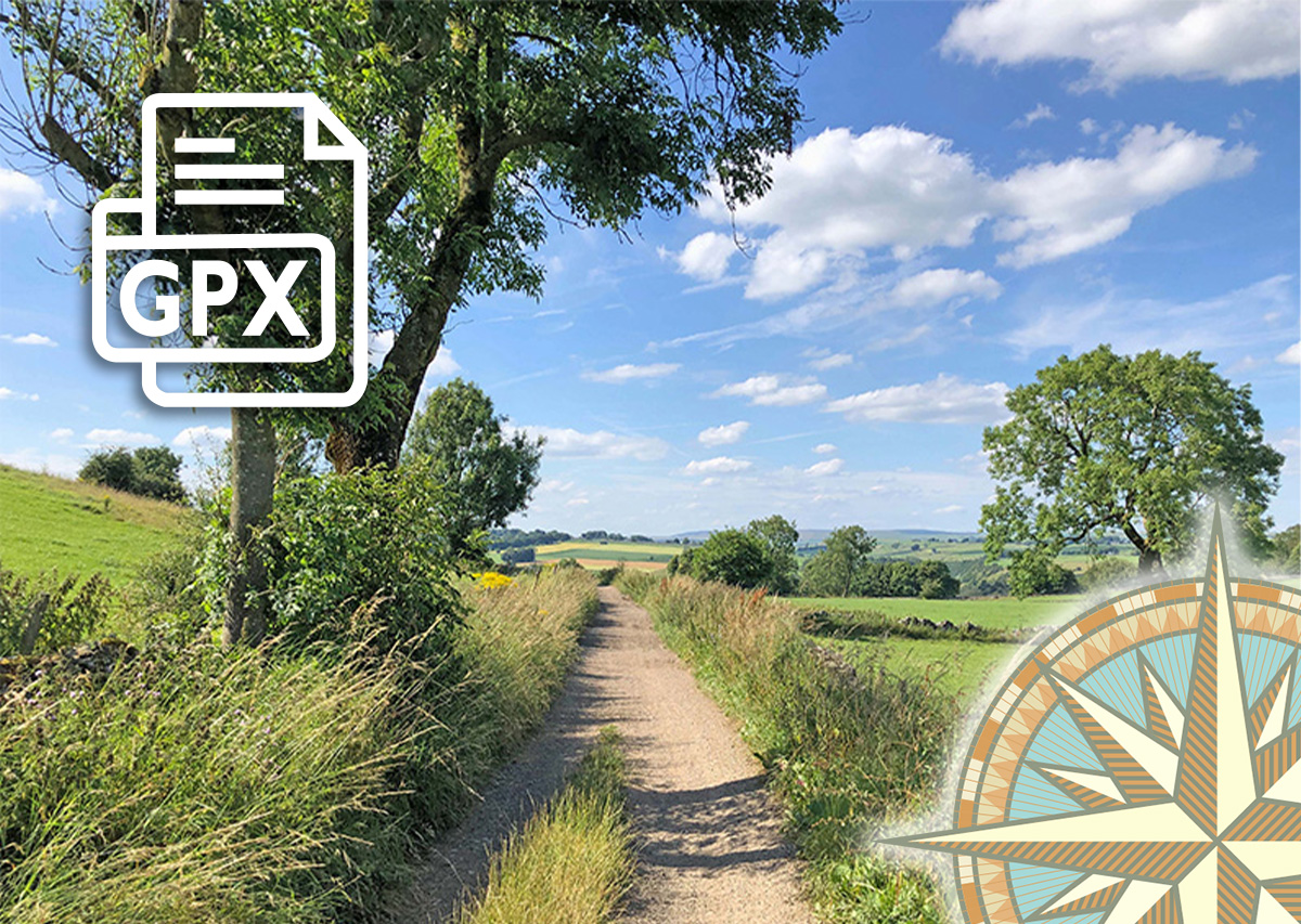
Download a 4-page A4 pdf of the route including detailed instructions, photos and map. A GPX file is also available to follow the route in any walking app. Simply select from the dropdown below…
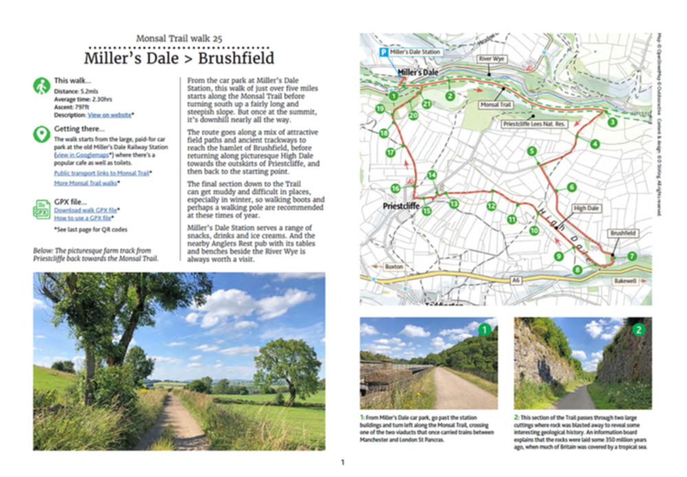
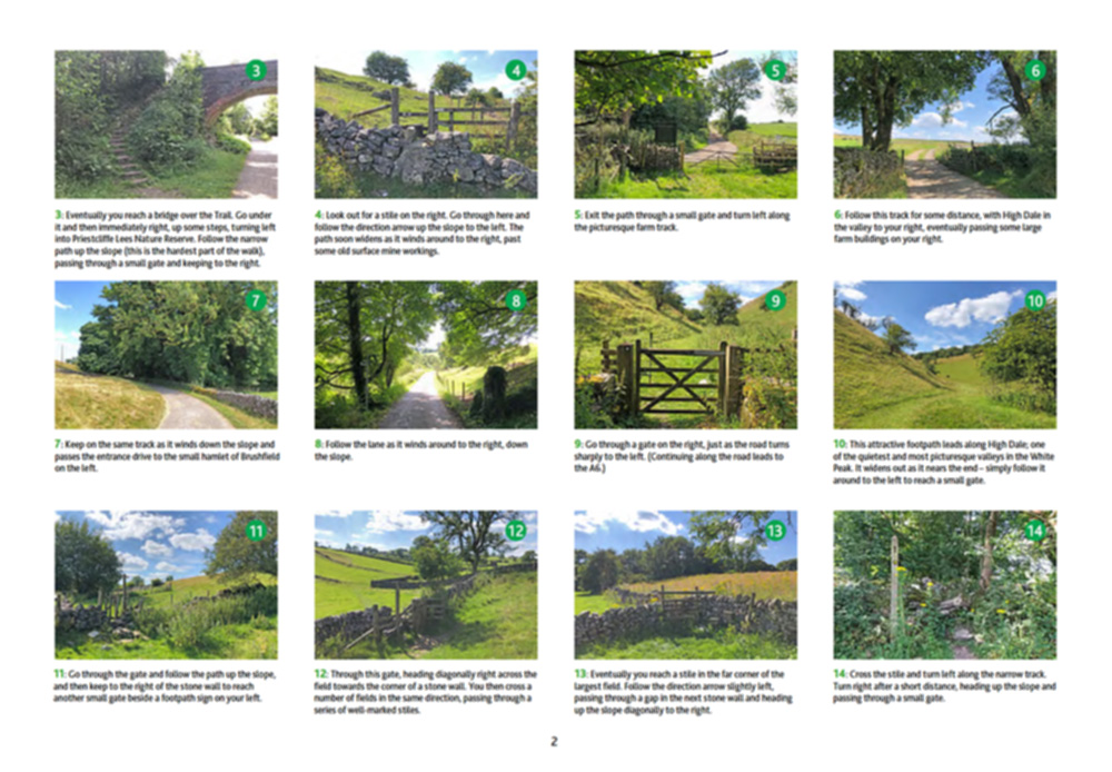
From the carpark at Miller’s Dale Station, this walk of just over five miles heads east along the Monsal Trail for about a mile before turning south, up a fairly long and steepish slope. But once you’ve reached the summit, it’s downhill nearly all the way.
Click for information on how to install and follow a GPX file on the most popular walking apps. (All proceeds will go towards the hosting costs of this website.)
Additional information
| Please select: | Description pdf (£1.85), GPX file (£1.50), Description + GPX (£2.95) |
|---|
Reviews
There are no reviews yet.