6. Miller’s Dale > High Dale
Price range: £1.50 through £2.95
Distance: 6.mls
Average time: 3.25hrs
Ascent: 1263ft
Description: Click to view
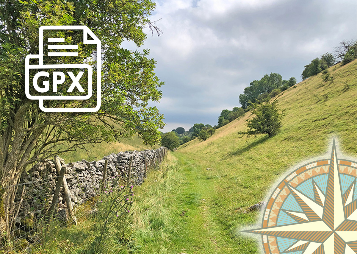
Download a 3-page A4 pdf of the route including detailed instructions, photos and map. A GPX file is also available to follow the route in any walking app. Simply select from the dropdown below…
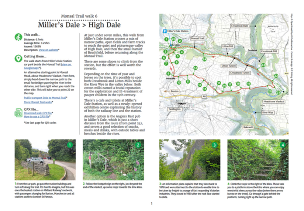
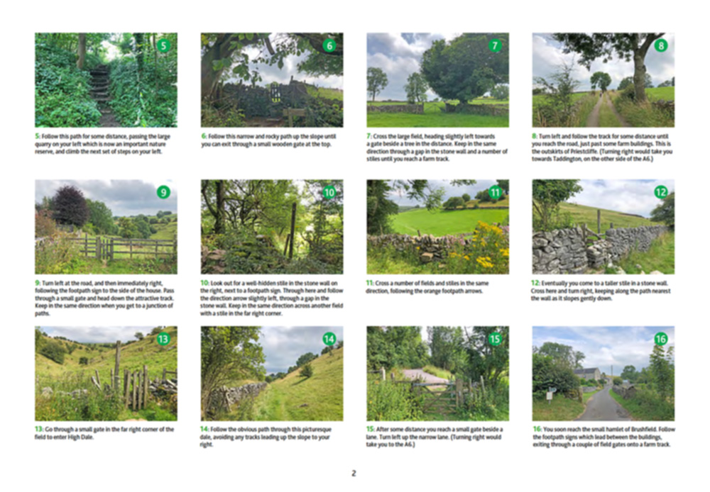
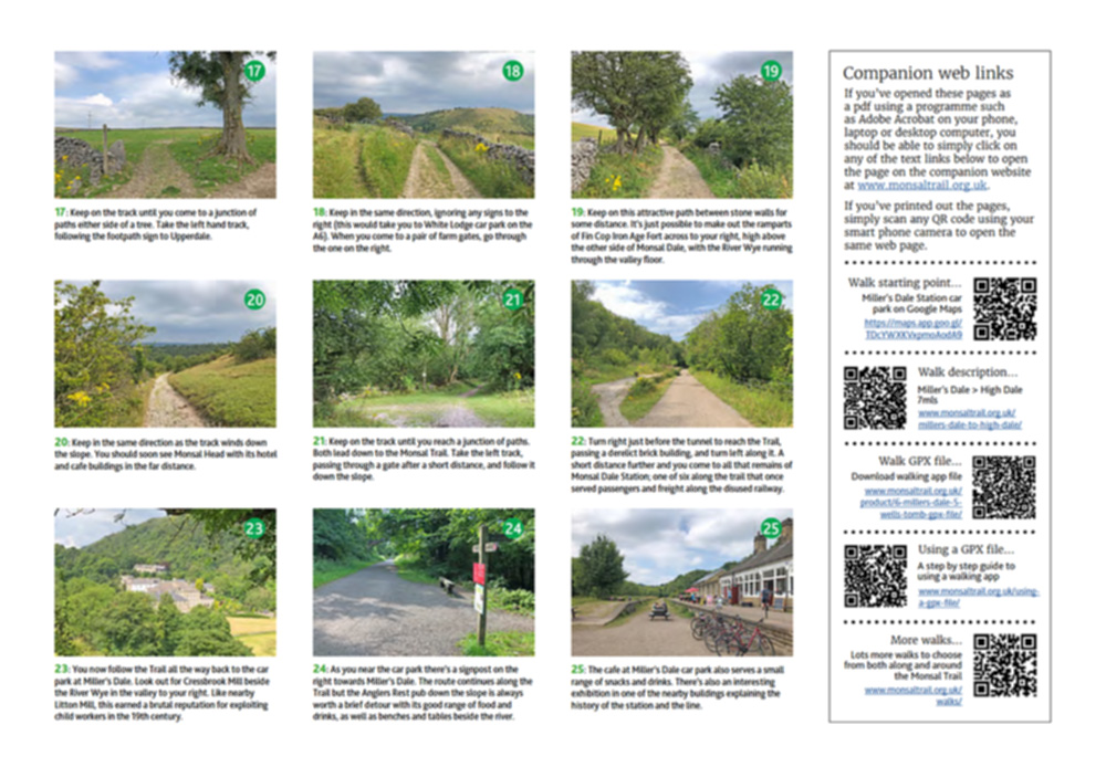
At just under seven miles, this walk from Miller’s Dale Station crosses a mix of narrow paths, open fields and farm tracks to reach the quiet and picturesque valley of High Dale, and then the small hamlet of Brushfield, before returning along the Monsal Trail.
Click for information on how to install and follow a GPX file on the most popular walking apps. (All proceeds will go towards the hosting costs of this website.)
Additional information
| Please select: | Description pdf (£1.85), GPX file (£1.50), Description + GPX (£2.95) |
|---|
Reviews
There are no reviews yet.