Jan 16, 2026
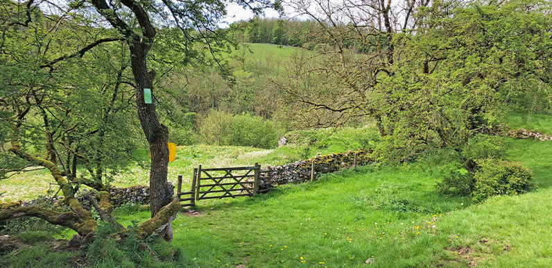
The White Peak at its picturesque best on this section of the route down from Wormhill to Flag Dale. Full directions Click below for a pdf of the route with detailed instructions, photos and a map, as well as links to car parks and public transport. A walking app GPX...
Jan 14, 2026
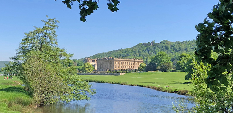
Approaching Chatsworth along the bank of the River Derwent, with the Hunting Tower partly hidden by the trees in the far distance. Full directions Click below for a pdf of the route with detailed instructions, photos and a map, as well as links to car parks and public...
Jan 13, 2026
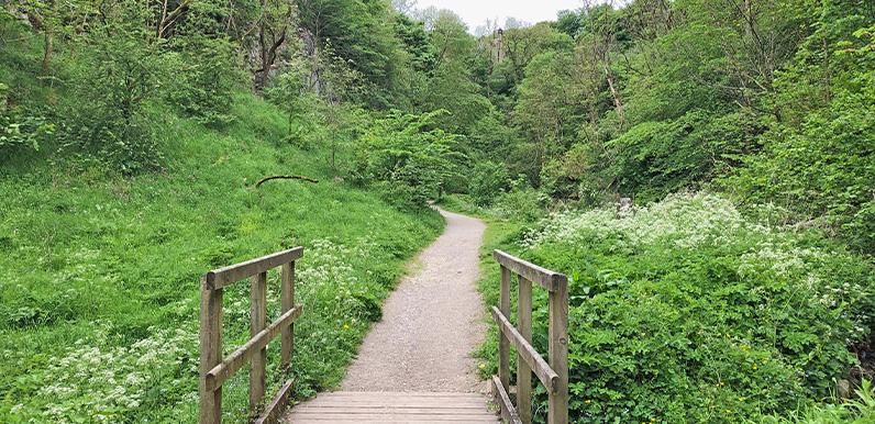
Tideswell Dale is one of the shortest but most picturesque dales in the White Peak. Full directions Click below for a pdf of the route with detailed instructions, photos and a map, as well as links to car parks and public transport. A walking app GPX is also...
Jan 10, 2026
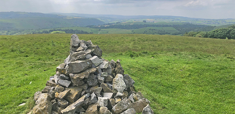
This cairn of stones marks the high point of Longstone Moor, and also the site of a Bronze Age burial mound. Full directions Click below for a pdf of the route with detailed instructions, photos and a map, as well as links to car parks and public transport. A walking...
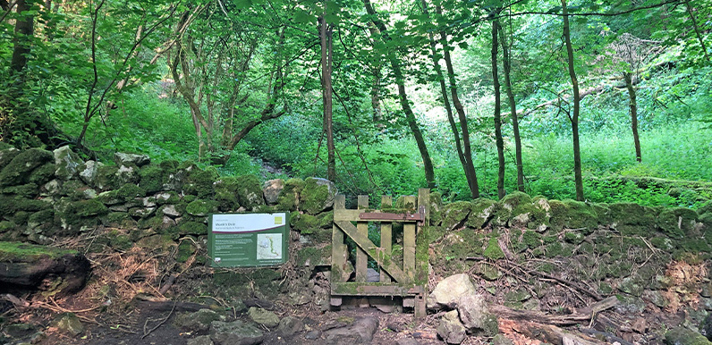
Jan 9, 2026
Once walked by medieval monks, Monk’s Dale has a wonderfully quiet and meditative atmosphere. Full directions Click below for a pdf of the route with detailed instructions, photos and a map, as well as links to car parks and public transport. A walking app GPX...