Aug 21, 2025
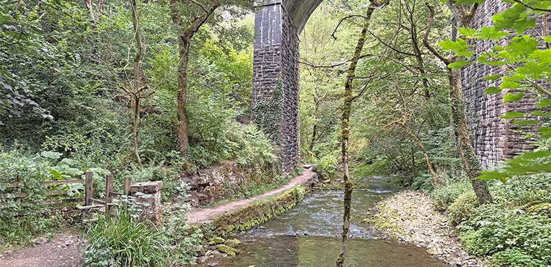
Above: The riverside path passes through a viaduct arch on its way to the two sets of stepping stones. Above: Click the map to enlarge in a new window. Starting from the free-to-park, Topley Pike lay-by just a few miles from Buxton beside the A6 to Bakewell, this...
Aug 21, 2025
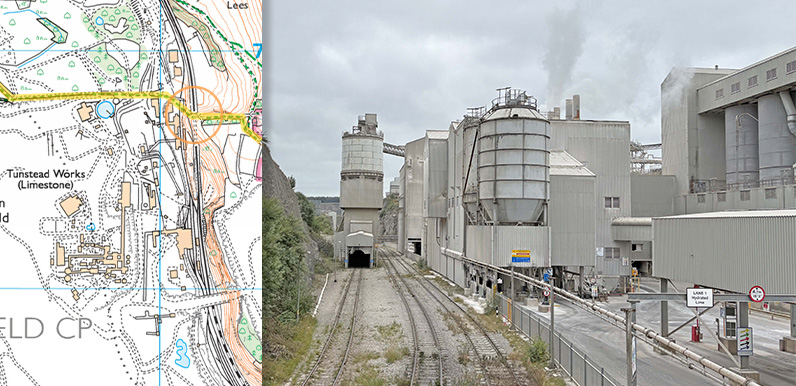
Above: The orange circle shows where the photo was taken – approching Tunstead from the footbridge over the quarry’s railway line. Tunstead Quarry lies just a few miles east of Buxton and is the UK’s largest limestone quarry, covering some 840 acres....
Jun 1, 2024
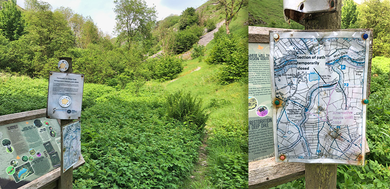
Above: I found the path closure notices thrown in the undergrowth when taking these photos. But if you miss them and continue along Deep Dale, there’s no way through when you reach the fencing around the quarry. There are walks on this website that pass along...