

Click for a pdf with stage-by-stage details of the route including photos and a map, as well as links to car parks and public transport. A walking app GPX file is also available.
Length: 8.1mls | Av. time: 3h 50m | Ascent: 1253ft
Start: Topley Pike layby | Google Map
Walk description, map & GPX | Download
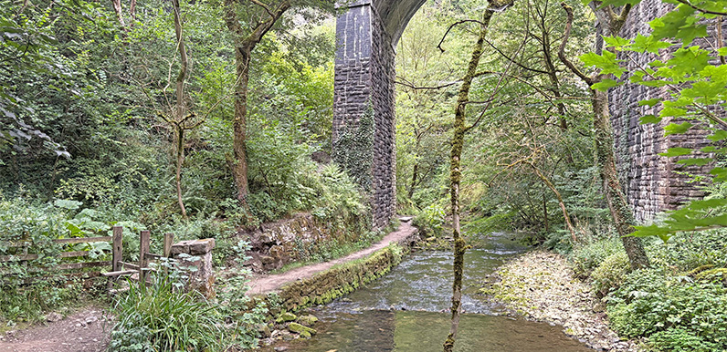
An 8.1-mile circular walk from Topley Pike layby – free to park beside the A6, a few miles from Buxton (Google Maps calls it Chee Dale layby). It drops down to the western end of the Monsal Trail and follows the River Wye through Chee Dale.
The paid-for car park at Wyedale is an alternative start and avoids the steepish slope down from Topley Pike. It’s then about a mile along a lane beside the river to Blackwell Mill and a short climb to the Trail. For buses, see getting there.
A short way along the Trail, the route drops down to the river and the first of two sets of stepping stones. They’re flat and evenly spaced, but the water can rise to just below the tops, and there are some uneven rock steps.
If you’re at all nervous, both sets are easily avoided by staying on the Trail until just past the Chee Tor tunnels, then taking a footpath on the left down to the footbridge at point 9 on the pdf map.

Above: The first of two sets of stepping stones beside the River Wye. When I recorded the walk in August, the stones were well above the water level, but they can be more challenging in winter.
The route rises from the river to the outskirts of Wormhill. The village, with its pretty green and Victorian church, is just a short detour along the lane and a good spot to rest awhile.
From here, it follows an ancient lane between stone walls, then crosses open fields to a narrow road. A notice warns of possible blasting in the quarry, but Tunstead staff say there’s no danger if walkers stick to the obvious paths.
Tunstead is the UK’s largest limestone quarry – and was once Europe’s largest (more on the quarry). There are actually two quarries: Tunstead, opened in 1929, and Old Moor, opened in the mid-1980s, either side of the railway through Great Rocks Dale.
The route passes Old Moor first, with an impressive view across the vast site. Field paths then lead to Tunstead, crossing the railway on a footbridge. The way through the works is clearly marked, but watch out for lorries.
From the quarry, a tree-lined track and a quiet road lead down into Woo Dale. The climb out near the A6 is the most strenuous part of the walk – or stay on the road to avoid it (blue dashes on the pdf map).
The path beyond can get overgrown, but drops down to the railway cottages at Blackwell Mill, where the cycle hire shop has a small café (not always open). Then it’s the stony track back up to Topley Pike.
Click for a pdf with stage-by-stage details of the route including photos and a map, as well as links to car parks and public transport. A walking app GPX file is also available.
Route photos
Stages 1-6 of the route. Click any to enlarge and scroll through.
Relive video
Click to play and use the expand option to view in full-screen. More Monsal Trail Relives.