
Click for an overview of GPX files and various walking apps.
Walk guides & GPX files

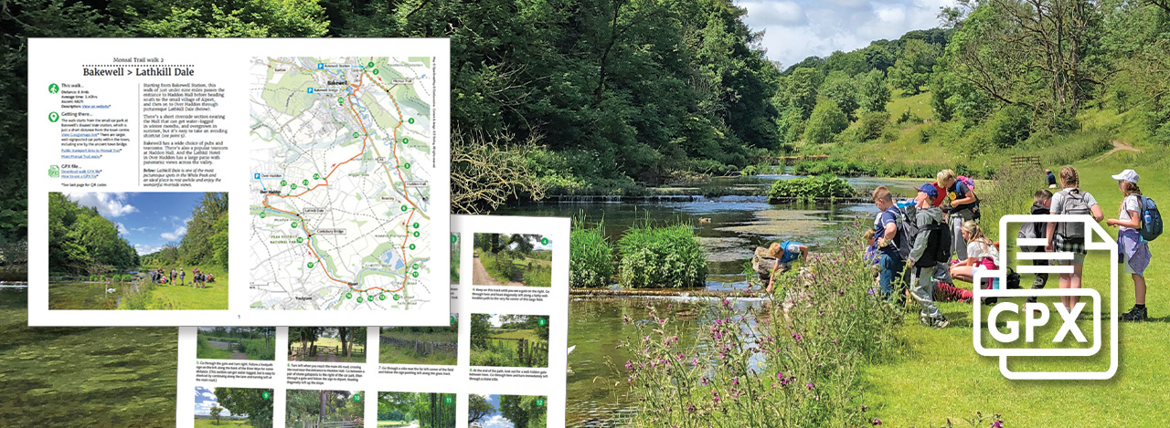
Each walk on this website has a short overview, a few photos and a Relive fly-through video. To follow the route on the day, you can download a printable walk guide, a GPX file for your walking app, or both together.
The small charge helps cover the cost of hosting and running the website, which is very much a retirement hobby.
Walk guide – £2.50
A printable A4 PDF with a detailed map, stage-by-stage photos and directions, plus parking and public transport details.
GPX file – £1.50
The route for any walking app, such as OS Maps, Komoot or OutdoorActive, so you can follow it on your smartphone. New to GPX files? See Using a GPX file.
Guide + GPX – £3.50
The walk guide and GPX file together, saving 50p.
All downloads are available instantly after purchase. Click any walk below for its full details and to buy.
A step-by-step guide to installing and using the OutdoorActive walking app.