Full directions

Click below for a pdf of the route with detailed instructions, photos and a map, as well as links to car parks and public transport. A walking app GPX is also available.
Walk details
Length: 7.3mls | Av. time: 3.15hrs | Ascent: 860ft
Start: Miller’s Dale Station | Google Map
Walk description, map & GPX | Download
Starting from Miller’s Dale Station, this walk of just over seven miles heads first along the Monsal Trail towards the Bakewell end, before dropping down to cross the River Wye near Litton Mill.
A display board on the right provides some fascinating information about the rock formations uncovered when the railway workers blasted their way through Litton Cutting. It’s mainly limestone, dating back some 330 million years ago and formed by the remains of shelly creatures that swam in a warm sea that covered most of Britain.

Above: The boulder behind the information board (inset) is known as a ‘pillow’ and was formed when an ancient lava flow entered the sea.
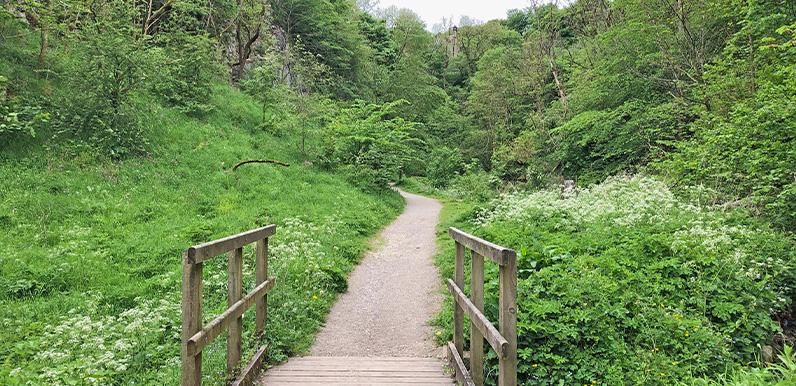
From the footbridge over the Wye, the route soon enters Tideswell Dale, which is a wonderfully scenic spot, before heading north towards Tideswell. The walk doesn’t go as far the town centre, with it’s impressive ‘Cathedral of the Peak’ church, but it’s only a 10-minute stroll away.
The walk then heads across a mix of fields, lanes and farm tracks towards Wormhill, before again dropping down to the Wye and walking along the river bank to rejoin the Monsal Trail.
Click here for full step-by-step instructions, photos, map and GPX file.
Route photos
Stages 1-6 of the route. Click any to enlarge and scroll through.
Relive video
Click to play and use the expand option to view in full-screen. More Monsal Trail Relives.