
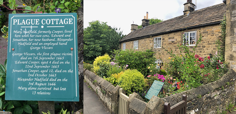
Plaques by a row of cottages tell the tragic story of how the Black Death came to this tranquil village. George Viccars was the first victim. It’s thought he brought the disease to Eyam in a bundle of cloth which carried infected fleas.
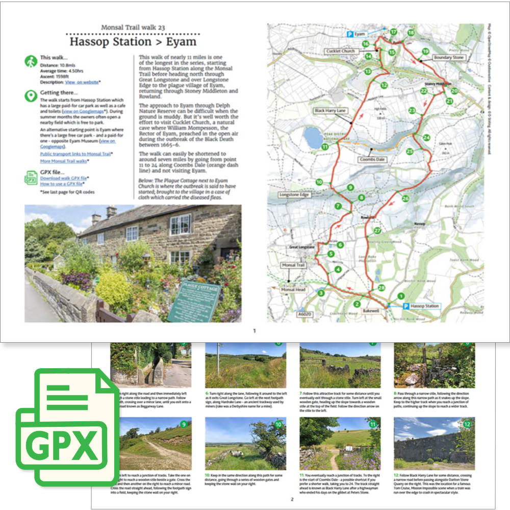
Click for a pdf with stage-by-stage details of the route including photos and a map, as well as links to car parks and public transport. A walking app GPX file is also available.
Length: 10.8mls | Av. time: 4h 50m | Ascent: 1598ft
Start: Hassop Station | Google Map
Walk description, map & GPX | Download
A 10.8-mile circular walk from Hassop Station to the plague village of Eyam – one of the longest and most challenging in the series, but full of historical interest, scenic paths and glorious views.
Hassop Station’s car park is pay and display, but the owners often open a nearby field for free in summer and at busy times. Eyam has a large free car park opposite the museum, making it a good alternative start – see also getting there.
From the Trail, the route passes Great Longstone and climbs over Longstone Moor via Hardrake Lane, an ancient track used by miners carrying lead from the many mines that once dotted this landscape.
Highwayman Black Harry
Field paths then lead down to the junction of Black Harry Lane and Coombs Dale (point 11 on the pdf map). Here the notorious 18th-century highwayman Black Harry lay in wait for travellers and merchants.
He’s said to have ended up swinging on the gibbet at Peter’s Stone (see the Litton to Cressbrook Dale walk). You can shorten the route to around seven miles here by turning right along Coombs Dale.
The walk continues along Black Harry Lane past Darlton Quarry, where a train was sent over the edge for a scene in Tom Cruise’s Mission: Impossible series, then climbs through Eyam Delph Nature Reserve to Cucklet Church.
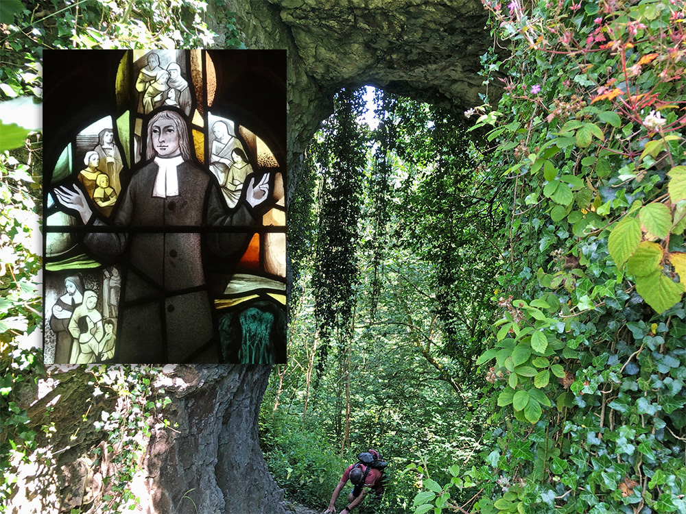
Above: Cucklet Church is a series of natural arches in the limestone, just outside Eyam, where William Mompesson preached during the Black Death outbreak in 1665-6. The inset image of Mompesson is part of a stained glass window in Eyam Church.
The path up through the nature reserve can be difficult, as it gets very muddy in winter and after rain. But the only other way into Eyam is along a narrow road with no pavement for most of the way.
The route enters Eyam opposite Eyam Hall’s courtyard, which has a bar, cafe and shop, with plenty of outside tables – the perfect halfway stop.
History of the ‘plague village’
The nearby museum is well worth a visit, though opening times vary. Its website describes the devastation caused by the disease, and how Mompesson persuaded the villagers to isolate themselves once it began to spread.
The path then passes Eyam Church, which also has displays about the plague years. Near the porch lies the grave of Mompesson’s wife, Catherine, who paid the ultimate price for staying with her husband.
From Eyam, the walk passes the Boundary Stone – where villagers left coins in vinegar-filled holes to pay for food and supplies – before returning along wonderful paths and tracks through Stoney Middleton and Rowland.
Click for a pdf with stage-by-stage details of the route including photos and a map, as well as links to car parks and public transport. A walking app GPX file is also available.
Route photos
Stages 1-6 of the route. Click any to enlarge and scroll through.
Relive video
Click to play and use the expand option to view in full-screen. More Monsal Trail Relives.