Full directions

Click below for a pdf of the route with detailed instructions, photos and a map, as well as links to car parks and public transport. A walking app GPX is also available.
Walk details
Length: 13.8mls | Av. time: 6.15hrs | Ascent: 1739ft
Start: Bakewell Bridge | Google Map
Walk description, map & GPX | Download
At 14 miles this route is the longest in the series so far, and perhaps further than many people would find comfortable. I’ve included it because it passes some of the most popular historical sites in the White Peak.
Including two Bronze Age stone circles, a 14th century hermit’s cave, one of Derbyshire’s most important country houses, and some bizarre rock carvings made by an eccentric 18th century vicar.
The Grey Ladies
Starting from Bakewell’s 14th century bridge, the route first passes through the picturesque villages of Over Haddon and Youlgreave before reaching The Grey Ladies Stone Circle which dates back some 4000 years.
The rock formation known as Robin Hood’s Stride is just a short distance away, where some easy climbing will provide wonderful views across the surrounding landscape. And then on to Cratcliff Hermitage with its evocative wall carving of the crucifixion which has been dated to the 14th century.

Above: The crucifixion carving has been dated to the 14th century. A 1549 Haddon Hall record includes a payment made to ‘Ye harmytt’ for supplying ten rabbits. (Click here for more information.)
The walk then heads east towards Birchover and the bizarre carvings known as Rowtor Rocks. They’re said to date back to the early 18th century and include thrones, steps, altars and various prehistoric-style swirls carved into the gritstone outcrop.
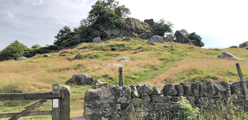
It’s a bit of a maze finding a way through the rocks, but the easiest route is to start from the stile beside the Druid Inn (one of two pubs in the village). From the Druid Inn, the walk continues along a narrow track leading up to Stanton Moor where our prehistoric ancestors buried their honoured dead and created a number of stone circles.

Above: The Nine Ladies Stone Circle on Stanton Moor.
Turned to stone
The walk passes the largest of these, known as the Nine Ladies Stone Circle. Legend has it that the ladies were turned to stone as punishment for dancing on the Sabbath. The nearby King Stone is said to be the fiddler.
The walk then drops down through Stanton-in-Peak, past the popular Flying Childers pub and along some wonderful field paths and tracks until Haddon Hall eventually comes into view. The Hall has a rich history stretching back to 11th century and is well worth a visit, as is the cafe.
From here, it’s a gentle walk back to Bakewell along a narrow track beside the River Wye (which can easily be avoided if it’s too muddy or overgrown), with the final section along the Monsal Trail.
Click here for full step-by-step instructions, photos, map and GPX file.
Route photos
Stages 1-6 of the route. Click any to enlarge and scroll through.
Relive video
Click to play and use the expand option to view in full-screen. More Monsal Trail Relives.