Jan 12, 2026
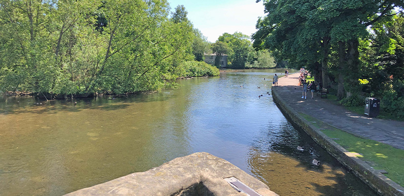
The view from Bakewell’s 14th century bridge over the Wye with the riverside path on the right. Full directions Click below for a pdf of the route with detailed instructions, photos and a map, as well as links to car parks and public transport. A walking app GPX is...
Jan 11, 2026
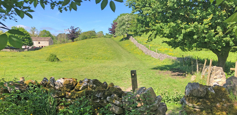
The attractive path from Ashford in the Water towards the Monsal Trail. Full directions Click below for a pdf of the route with detailed instructions, photos and a map, as well as links to car parks and public transport. A walking app GPX is also available....
Jan 10, 2026
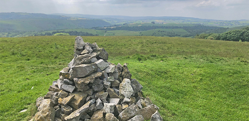
This cairn of stones marks the high point of Longstone Moor, and also the site of a Bronze Age burial mound. Full directions Click below for a pdf of the route with detailed instructions, photos and a map, as well as links to car parks and public transport. A walking...
Jan 9, 2026
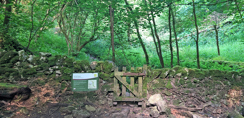
Once walked by medieval monks, Monk’s Dale has a wonderfully quiet and meditative atmosphere. Full directions Click below for a pdf of the route with detailed instructions, photos and a map, as well as links to car parks and public transport. A walking app GPX...
Jan 8, 2026
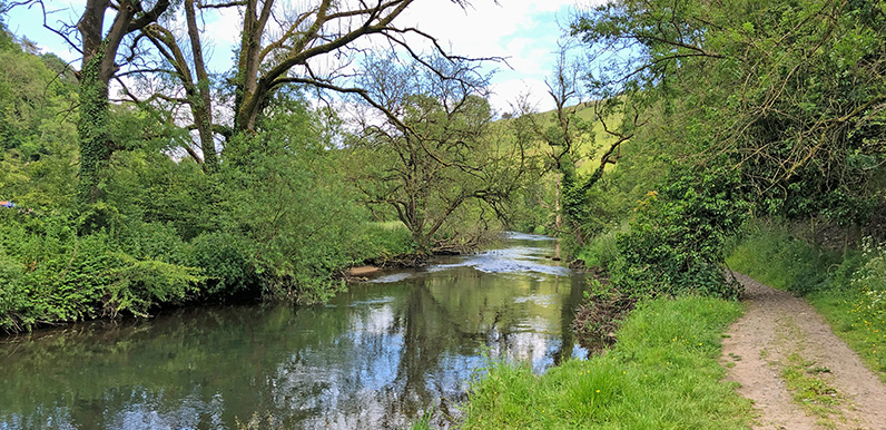
The riverbank footpath between the water mill and Ashford-in-the-Water. Full directions Click below for a pdf of the route with detailed instructions, photos and a map, as well as links to car parks and public transport. A walking app GPX is also available....