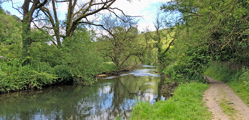
The riverbank footpath between the water mill and Ashford-in-the-Water.
Full directions

Click below for a pdf of the route with detailed instructions, photos and a map, as well as links to car parks and public transport. A walking app GPX is also available.
Walk details
Length: 5.5mls | Av. time: 2.30hrs | Ascent: 604ft
Start: White Lodge car park | Google Map
Walk description, map & GPX | Download
This five-and-a-half mile walk from White Lodge carpark on the A6 follows the River Wye for over half the route, heading first into Deep Dale Nature Reserve before entering the trees of Great Shacklow Wood to reach the picturesque village of Ashford-in-the-Water over its ancient Sheepwash Bridge.
There are two popular pubs in Ashford, as well as a tearoom beside the medieval church – all with gardens. From here the route crosses attractive field paths to reach the Monsal Trail, and then drops down from just beyond Headstone Viaduct to return along the riverbank through Monsal Dale (parts of which can get muddy in winter and after rain).

Above: The route passes a partially-restored water mill as it nears Ashford.
There were many water mills along the River Wye, but the one near Ashford is more recent and in far better condition than most. Built around 1870, it was partially restored by the Arkwright Society in 1979.
It seems to have served two purposes during its brief history – firstly to grind down animal bones to make fertiliser, and later as a timber mill. Some reports say it was used to make wooden bobbins for local cotton mills – including Litton and Cressbrook. But there doesn’t seem to be any firm evidence for this.
Click here for full step-by-step instructions, photos, map and GPX file.
Route photos
Stages 1-6 of the route. Click any to enlarge and scroll through.
Relive video
Click to play and use the expand option to view in full-screen. More Monsal Trail Relives.