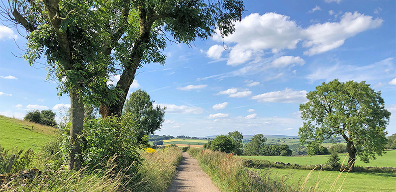
Above: The attractive track from Priestcliffe on the return towards Miller’s Dale (near point 16 on the map). The last couple of walks posted on the website have been fairly long at 11 and 14 miles. So I thought it was time to feature a few shorter ones. At just...
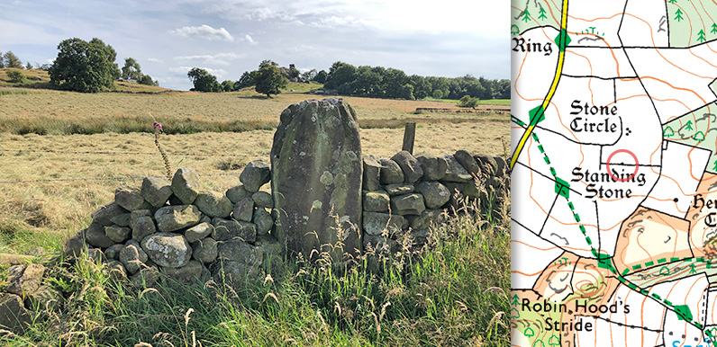
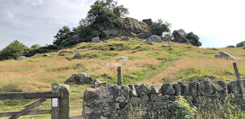
Above: The smallest of the surviving Grey Ladies is marked on the OS map and now stands in a nearby wall with Robin Hood’s Stride on the horizon. Lying close to Robin Hood’s Stride on Harthill Moor, between the villages of Elton and Birchover, The Grey...
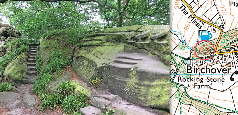
Above: Rowtor Rocks stand behind Birchover’s Druid Inn. The longest walk featured on this website – 14 miles from Bakewell to Robin Hood’s Stride – passes a number of historical sites, including Rowtor Rocks on the outskirts of Birchover, next...
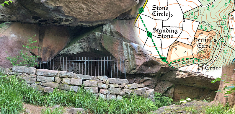
Above: The crucifixion carving was vandalised in the past and is now protected by iron railings. Also known as Cratcliff Hermitage, the hermit’s cave lies close to both Robin Hood’s Stride and the Grey Ladies Stone Circle, and is within walking distance of...
Above: Folklore has it that Robin Hood leapt between the two boulders which stand above the rest of the rocky outcrop. They were also said to look like the chimneys of a large house, giving it its other name, ‘Mock Beggar’s Mansion’. At 14 miles this...
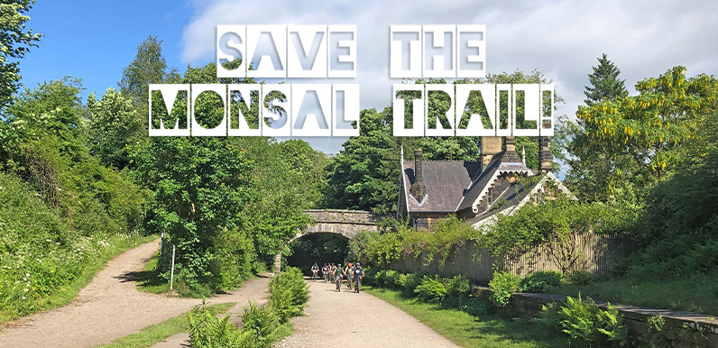
Above: A group of young cyclists coming through Great Longstone Station heading towards the Buxton end of the Trail. It was Dr Beeching’s 1963 report on the decline of Britain’s railways that sounded the death knell for many of the country’s less...