
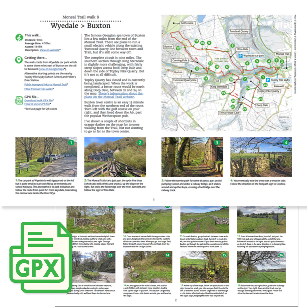
Click for a pdf with stage-by-stage details of the route including photos and a map, as well as links to car parks and public transport. A walking app GPX file is also available.
Length: 9mls | Av. time: 4h 10m | Ascent: 1345ft
Start: Wyedale car park | Google Map
Walk description, map & GPX | Download
The biggest problem with the Monsal Trail is that it stops about three miles short of Buxton, and the only road into town is the busy A6, with no pavement to protect walkers from the stream of cars and lorries. Cyclists do brave it, but it’s not something I’d recommend.
There has been talk of a light railway for walkers and cyclists from Blackwell Mill into Buxton along the existing freight line, but it seems a long way off (click for details). So when someone told me about a cross-country route they’d discovered, I decided to try it.
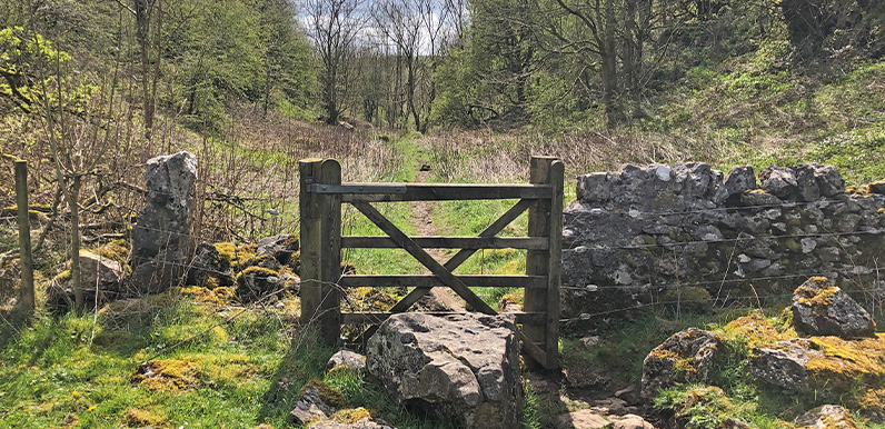
It’s a 9-mile circular walk linking the western end of the Trail with the Georgian spa town of Buxton. From Wyedale car park it heads through Cowlow and Woo Dale to the edge of Buxton, returning along Cunning Dale, through the picturesque village of King Sterndale and across Deep Dale.
Wyedale car park is small and soon fills up at weekends and in school holidays. Alternatives are the free layby at Topley Pike (Chee Dale layby on Google Maps), or parking in Buxton and joining the route at point 12 on the pdf map. For trains and buses to Buxton, see getting there.
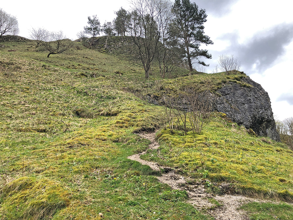
Above: The path up the side of Deep Dale passes Thirst House Cave, named after a goblin who was said to live here. An excavation in the 1880s found a bear skull, as well as bronze jewellery, enamelled brooches, pottery fragments, coins and an iron and bone knife.
Buxton town centre is an easy 15-minute walk from the northern end of the route – turn left with the golf course on your right, then head down the A6. Shortcuts for anyone not wanting to go into town are shown in orange on the pdf map.
You could just as easily start from Buxton, even returning the same way to avoid a short, overgrown stretch at point 14. Cunning Dale, one of Buxton’s hidden treasures, is a highlight of the return.
Steep slopes
There are a few steep but short slopes – across Deep Dale and down the side of Topley Pike Quarry. I’m not great with heights and didn’t find it difficult. The drop into Deep Dale looks impossibly steep from the top, but the path winds down fairly easily once you’ve found it.
There used to be a path along Deep Dale from points 21 to 24, but it’s been closed for some years so the quarry can remove waste and return the area to its natural state. It was due to reopen in 2025, but it could be a lot longer before the work is finished (click for details).
Click for a pdf with stage-by-stage details of the route including photos and a map, as well as links to car parks and public transport. A walking app GPX file is also available.
Route photos
Stages 1-6 of the route. Click any to enlarge and scroll through.
Relive video
Click to play and use the expand option to view in full-screen. More Monsal Trail Relives.
My sister and I walked the Monsal Trail from Bakewell a few days ago, thinking we could get to Buxton (as the railway must have gone there) so we were shocked to realise we’d have to brave the A6, which was quite scary.
The Monsal Trail path has only ever gone from Bakewell to Wyedale. I’ve been walking it for 25years now, and any indication of a path beyond Wyedale is misleading. I do hope one day they may add a hopper/shuttle bus or train along to Buxton.