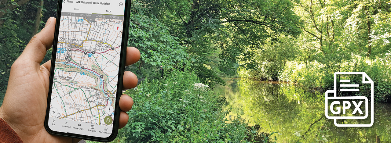
Click for an overview of GPX files and various walking apps.
A step-by-step guide to installing and using the OutdoorActive walking app.
Monsal Trail GPX files
Following walk directions can be confusing. Does ‘diagonally left’ mean this way or that? Is this the correct footpath sign to follow? These days I always follow a route on a walking app, using a GPX file that I’ve either created myself or downloaded from a walking website. It’s far easier to spot where you’re going wrong, and the correct path to take.
Just £1.50 each
GPX files are now available for all the walks featured on this website. Download links are at the top of every walk description. I’ve made a nominal charge of just £1.50 to help cover the costs of hosting and maintaining this website.
Use the buttons to discover more about GPX files and what walking apps are available. I’ve also included a guide to using one of the most popular – OutdoorActive. And if you already know which GPX file you want, simply click on any image below to go straight to the download page.
