
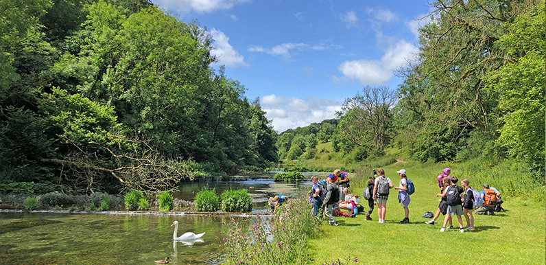
Lathkill Dale is one of the most picturesque spots in the White Peak.

Click for a pdf with stage-by-stage details of the route including photos and a map, as well as links to car parks and public transport. A walking app GPX file is also available.
Length: 8.8mls | Av. time: 3h 40m | Ascent: 682ft
Start: Bakewell Station | Google Map
Walk description, map & GPX | Download
An 8.8-mile circular walk from Bakewell Station, at the eastern end of the Monsal Trail. It passes the entrance to Haddon Hall and heads south to the small village of Alport, then follows the River Lathkill into Lathkill Dale before returning via Over Haddon.
The station car park is fairly small and soon fills up. There are larger car parks in Bakewell, including one by the ancient town bridge, which is close to the end of the route and makes a good alternative start. Bakewell is also well served by buses – see getting there.
Before you reach Haddon Hall there’s a short riverside section beside the Wye that can get waterlogged in winter and overgrown in summer. It’s easy to avoid by staying on the lane (point 5 on the pdf map).
The hall itself, with its popular tearoom, is always worth a visit. But check the opening times first – it’s become a favourite with film-makers and is often closed for longish periods.

Above: Conksbury Bridge over the River Lathkill, which the route crosses on its way into Lathkill Dale.
From the hall the route crosses open fields and follows ancient tracks to Alport, where the Lathkill meets the River Bradford. A short detour at point 17 leads to an attractive bridge and a series of ponds – an ideal spot to rest awhile.
Lathkill Dale and Over Haddon
After Conksbury Bridge the path enters Lathkill Dale and follows the river to a stone clapper bridge. From here the lane climbs to the village of Over Haddon – the steepest section of the route.
The Lathkil Hotel in Over Haddon has a large patio with panoramic views across the valley, and is a great place to stop for refreshments. From there it’s a couple of miles back to Bakewell, with its many cafes and pubs – and the chance to sample a Bakewell tart (or pudding).
Click for a pdf with stage-by-stage details of the route including photos and a map, as well as links to car parks and public transport. A walking app GPX file is also available.
Route photos
Stages 1-6 of the route. Click any to enlarge and scroll through.
Relive video
Click to play and use the expand option to view in full-screen. More Monsal Trail Relives.