May 3, 2024
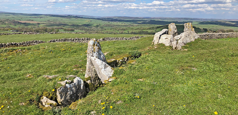
Above: Five Wells Tomb is a wonderfully evocative spot, perched high on Taddington Moor with breath-taking views across the surrounding landscape. This fairly easy walk of less than six miles starts from Miller’s Dale Station; now a quiet and remote spot but...
Apr 25, 2024
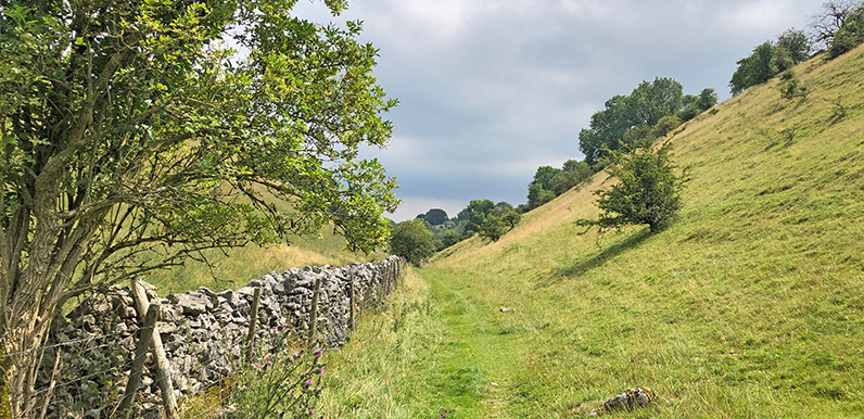
Above: Entering into the wonderfully named Cunning Dale on the route between Buxton and King Sterndale (point 12 on the map below). The biggest problem with the Monsal Trail is that it stops about three miles short of Buxton. The nearest road into town is the busy A6...
Apr 22, 2024
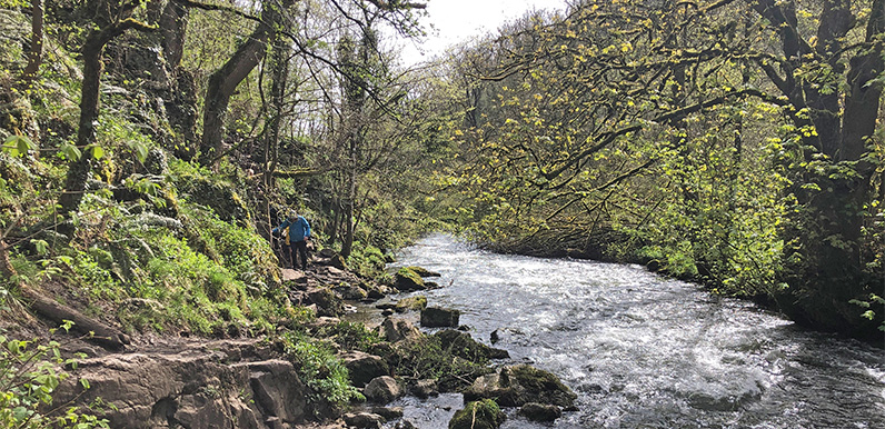
Above: The River Wye rushing through picturesque Chee Dale is a glorious sight. An eight-mile walk through two very different landscapes – the first along the River Wye from Wyedale carpark through Chee Dale to meet the Monsal Trail near Miller’s Dale...
Apr 17, 2024
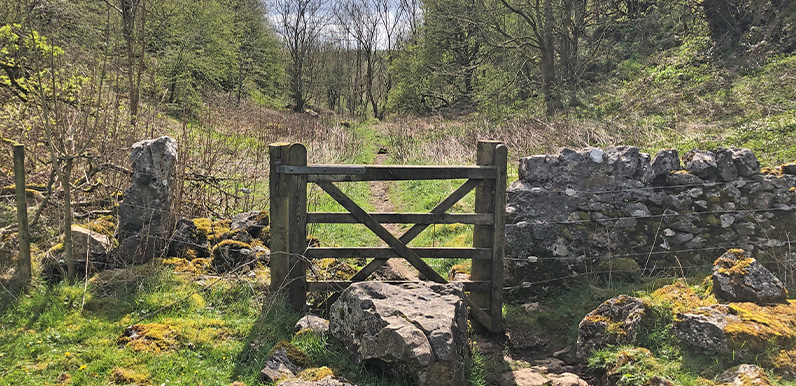
Above: Lying between the ancient Derbyshire villages of Priestcliffe and Brushfield, High Dale is a wonderfully tranquil and undisturbed part of the White Peak. This fairly easy 7-mile walk starts from Miller’s Dale Station carpark and heads along a mix of...
Apr 3, 2024
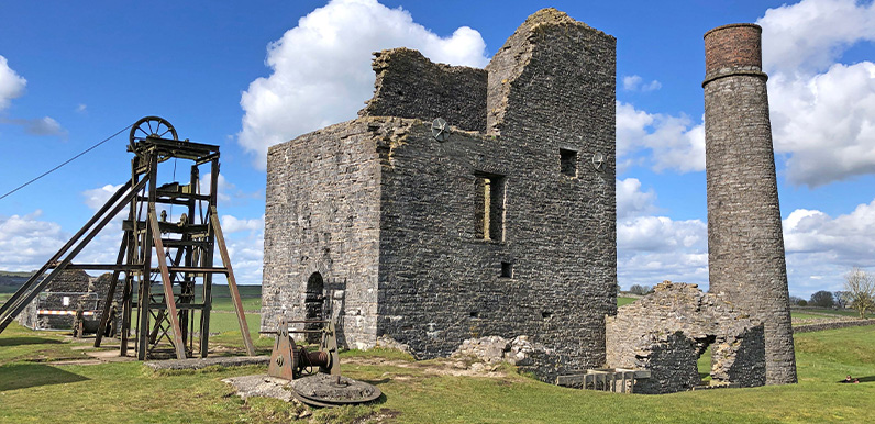
Above: Dating back to the 1680s, Magpie Mine only closed in the 1950s, making it the last working lead mine in Derbyshire. Starting from the picture-postcard village of Ashford-in-the-Water, this fairly easy 8-mile walk takes in a short stretch of the Monsal Trail...
Apr 1, 2024
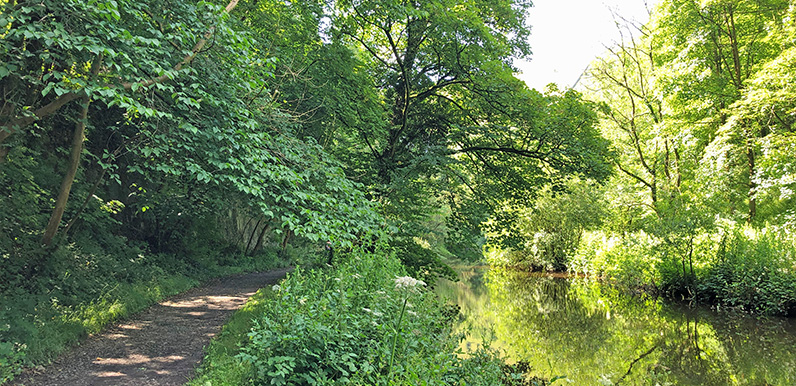
Above: The picturesque path alongside the River Wye between Litton and Cressbrook Mills can get muddy and water-logged at the far end. A fairly easy 5-mile walk from Monsal Head and along the Trail before dropping down to Litton Mill. The route also passes Cressbrook...