

Click for a pdf with stage-by-stage details of the route including photos and a map, as well as links to car parks and public transport. A walking app GPX file is also available.
Length: 8.2mls | Av. time: 3h 40m | Ascent: 745ft
Start: Wyedale car park | Google Map
Walk description, map & GPX | Download
An 8.2-mile circular walk through two very different landscapes. The first half follows the River Wye from Wyedale car park through Chee Dale to meet the Monsal Trail near Miller’s Dale Station.
The return crosses open fields and farm tracks to the village of Chelmorton, then passes Topley Pike Quarry on the way back.
Wyedale car park is small and can fill up at weekends and on fine days. Alternatives are the free layby at Topley Pike (Chee Dale layby on Google Maps), Miller’s Dale Station, or Chelmorton near the Church Inn. A regular Buxton–Tideswell bus stops near Wyedale – see getting there.
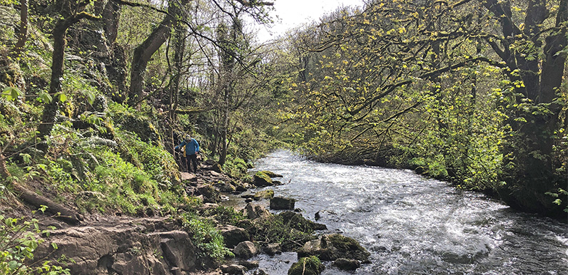
The route crosses two sets of stepping stones in Chee Dale (point 4 on the pdf map, and point 7), which some may find a bit daunting. But the stones are flat and evenly spaced, and it’s easy to place a reassuring hand on the side of the gorge.
The riverside section can also get very muddy in winter and after rain, so walking boots are a good idea – and a walking pole helps over the stones and rockier sections. A few short stretches need care close to the riverbank.

Above: I wouldn’t recommend taking small children, or carrying a dog across the stones, but I’ve seen people do both without any problem. If you’re at all nervous, the second set is easily avoided by taking the steps up to the Trail at point 6.
Miller’s Dale and Chelmorton
At the large viaduct near Miller’s Dale, steps lead up to the Trail and the station, which has a cafe, toilets and an exhibition on the history of the station and the line. From there the route climbs past the old lime kilns to open farmland above Priestcliffe.
Near Chelmorton the path passes a narrow ditch that was once a drift mine, where lead lying close to the surface was extracted – some of these date back to Roman times. The Church Inn in the village is a favourite of mine, with good food and an outside patio.
The return follows Caxterway Lane, part of the Midshires Way, before a fairly steep and rocky descent into the dale and back past Topley Pike Quarry to Wyedale.
Click for a pdf with stage-by-stage details of the route including photos and a map, as well as links to car parks and public transport. A walking app GPX file is also available.
Route photos
Stages 1-6 of the route. Click any to enlarge and scroll through.
Relive video
Click to play and use the expand option to view in full-screen. More Monsal Trail Relives.