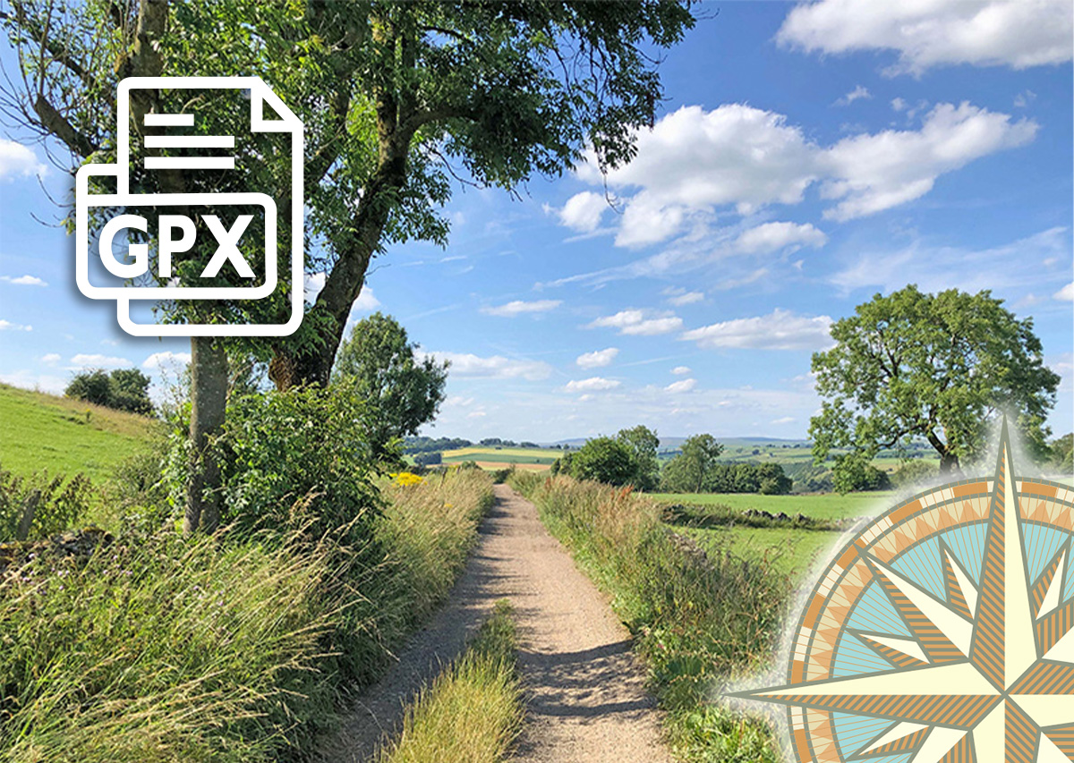
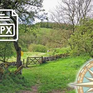
25. Miller’s Dale > Brushfield GPX file
£1.50
Distance: 5 miles
Walk info: Click to view
Route & photos: Click to view
From the carpark at Miller’s Dale Station, this walk of just over five miles heads east along the Monsal Trail for about a mile before turning south, up a fairly long and steepish slope. But once you’ve reached the summit, it’s downhill nearly all the way.
Click for information on how to install and follow a GPX file on the most popular walking apps. (All proceeds will go towards the hosting costs of this website.)
Reviews
There are no reviews yet.