Jan 26, 2026
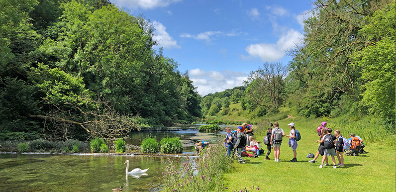
Lathkill Dale is one of the most picturesque spots in the White Peak. Full directions Click below for a pdf including stage-by-stage details of the route with photos and a map, as well as links to car parks and public transport. A walking app GPX is also available....
Jan 23, 2026
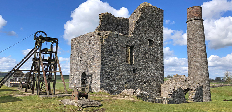
Dating back to the 1680s, Magpie Mine only closed in the 1950s, making it the last working lead mine in Derbyshire. Full directions Click below for a pdf including stage-by-stage details of the route with photos and a map, as well as links to car parks and public...
Jan 21, 2026
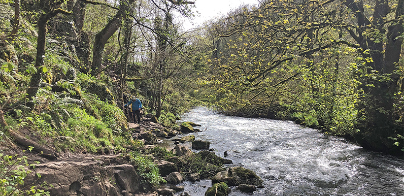
The River Wye rushing through picturesque Chee Dale is a glorious sight. Full directions Click below for a pdf including stage-by-stage details of the route with photos and a map, as well as links to car parks and public transport. A walking app GPX is also available....
Jan 20, 2026
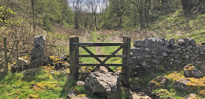
Entering into the wonderfully named Cunning Dale on the route between Buxton and King Sterndale. Full directions Click below for a pdf including stage-by-stage details of the route with photos and a map, as well as links to car parks and public transport. A walking...
Jan 15, 2026
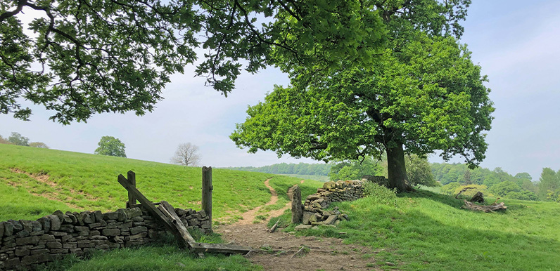
The route from the Derwent Valley Heritage Way towards Calton Lees. Full directions Click below for a pdf of the route with detailed instructions, photos and a map, as well as links to car parks and public transport. A walking app GPX is also available. Description...